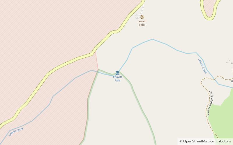
Leavitt Falls, Hoover Wilderness
Map

Map

Facts and practical information
Leavitt Falls is a 200-foot, multi-tiered waterfall in the Sierra Nevada of Mono County, California. The falls are located on Leavitt Creek, a tributary of the West Walker River, and are formed where the creek drops off the edge of a hanging valley into Leavitt Meadow. ()
Height: 200 ftCoordinates: 38°19'9"N, 119°33'47"W
Address
Hoover Wilderness
ContactAdd
Social media
Add
