Mount McConnel National Recreation Trail, Roosevelt National Forest
Map
Facts and practical information
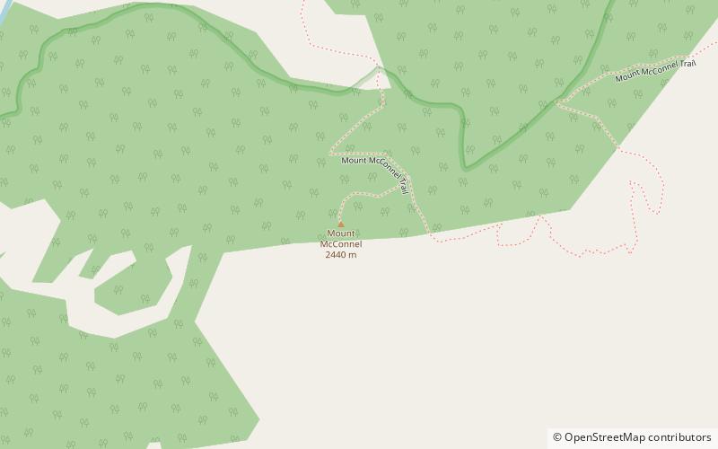
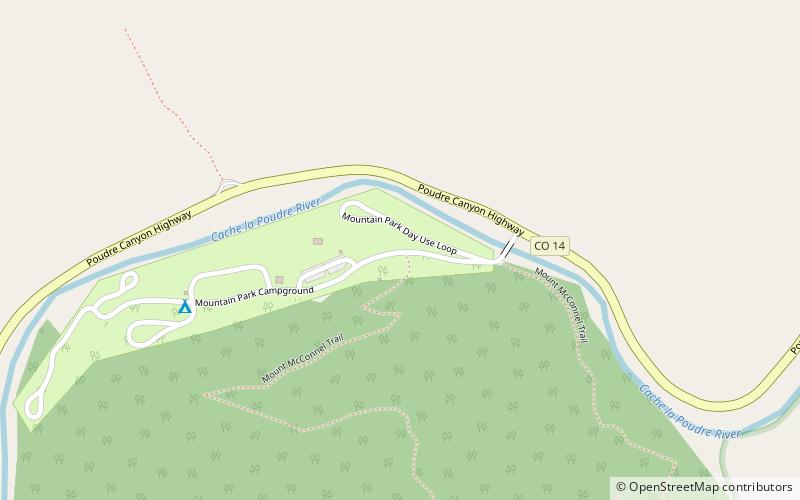
Mount McConnel National Recreation Trail is a hiking trail in the Cache La Poudre Wilderness of Roosevelt National Forest west of Fort Collins, Colorado. The trail leading from Fort Collins Mountain Park to the summit of Mount McConnel was constructed by the Civilian Conservation Corps in 1936. Designation as a National Recreation Trail was in 1981. ()
Length: 2.3 miMaximum elevation: 7980 ftMinimal elevation: 6646 ftCoordinates: 40°40'58"N, 105°27'50"W
Address
Roosevelt National Forest
ContactAdd
Social media
Add
Day trips