South End, Charlotte

Gallery (1)
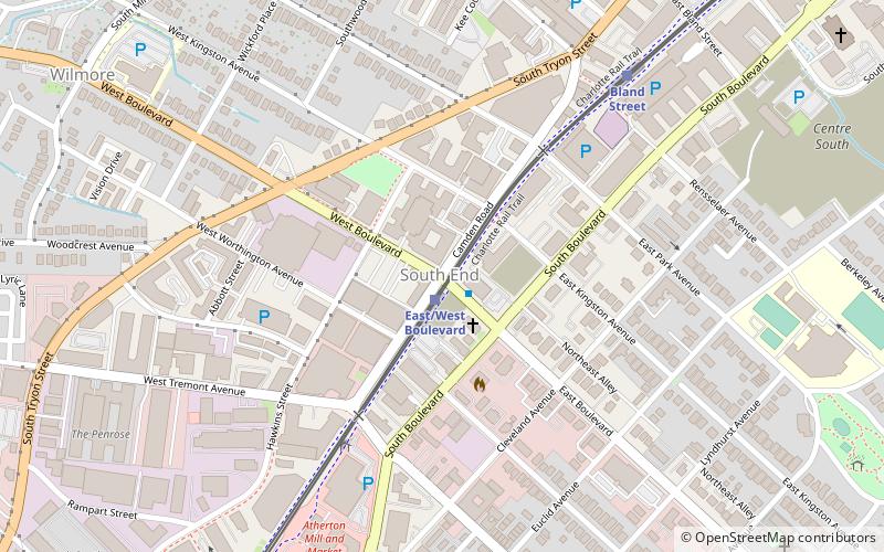
Map
Map
Facts and practical information
South End is a high-density commercial and residential neighborhood immediately southwest of Uptown Charlotte. It is also one of three Municipal Service Districts in Charlotte. ()
Coordinates: 35°12'45"N, 80°51'32"W
Address
Center City (Wilmore)Charlotte
ContactAdd
Social media
Add
Getting there by public transportation
Public transportation stops near this location
- Bus
- Tram
- Light rail
 Bus
Bus
- Calculate routeEast/West Boulevard 2 min walk
- Calculate routeBland Street 8 min walk
- Calculate routeCarson 16 min walk
- Calculate routeStonewall 23 min walk
- Calculate routeSouth College Street at East Stonewall Street 24 min walk
- Calculate routeEast Stonewall Street at South College Street 25 min walk
- Calculate routeSouth Brevard Street at East Martin Luther King Jr Boulevard 29 min walk
- Calculate routeCTC/Arena 35 min walk
- Calculate routeTryon Street 35 min walk
- Calculate routeMint Street 36 min walk
Day trips


Frequently Asked Questions (FAQ)
Which popular attractions are close to South End?
Nearby attractions include Dilworth Artisan Station, Charlotte (2 min walk), Lark & Key Gallery and Boutique, Charlotte (5 min walk), Elder Gallery, Charlotte (7 min walk), Tremont Music Hall, Charlotte (12 min walk).
How to get to South End by public transport?
The nearest stations to South End:
Light rail
Bus
Tram
Light rail
- East/West Boulevard • Lines: Blue (2 min walk)
- Bland Street • Lines: Blue (8 min walk)
Bus
- South College Street at East Stonewall Street • Lines: 35 (24 min walk)
- East Stonewall Street at South College Street • Lines: 35 (25 min walk)
Tram
- CTC/Arena • Lines: Gold (35 min walk)
- Tryon Street • Lines: Gold (35 min walk)