Ypsilanti Historic District, Ypsilanti
Map

Map

Facts and practical information
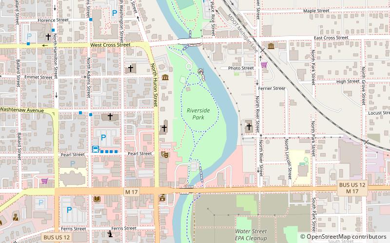
The Ypsilanti Historic District is a historic district located along several blocks on each side of the Huron River in the center of Ypsilanti, Michigan. The original portion of the district was designated a Michigan State Historic Site in 1973 and listed on the National Register of Historic Places in 1978; additions to the district were nationally listed in 1989. ()
Coordinates: 42°14'36"N, 83°36'41"W
Address
RiversideYpsilanti
ContactAdd
Social media
Add
Day trips
Ypsilanti Historic District – popular in the area (distance from the attraction)
Nearby attractions include: Michigan Firehouse Museum, Ypsilanti Automotive Heritage Museum, Sidetrack Bar & Grill, Pease Auditorium.
Frequently Asked Questions (FAQ)
Which popular attractions are close to Ypsilanti Historic District?
Nearby attractions include Ypsilanti Historical Society, Ypsilanti (3 min walk), Ladies' Literary Club Building, Ypsilanti (5 min walk), Depot Town, Ypsilanti (6 min walk), Michigan Firehouse Museum, Ypsilanti (6 min walk).


