Upper and Lower Table Rock
Map
Gallery
Facts and practical information
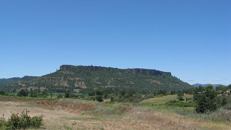
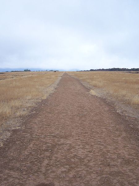
Upper Table Rock and Lower Table Rock are two prominent volcanic plateaus located just north of the Rogue River in Jackson County, Oregon, U.S. Created by an andesitic lava flow approximately seven million years ago and shaped by erosion, they now stand about 800 feet above the surrounding Rogue Valley. The Table Rocks are jointly owned; The Nature Conservancy is responsible for 3,591 acres, while the Bureau of Land Management is responsible for 1,280 acres. ()
Day trips
Upper and Lower Table Rock – popular in the area (distance from the attraction)
Nearby attractions include: TouVelle State Recreation Site, Dillon Falls, Don Jones Memorial Park - aka Water Spray Park, Seven Feathers Event Center.


