Rich Mountain, Ouachita National Forest

Gallery (1)
Map
Map
Facts and practical information
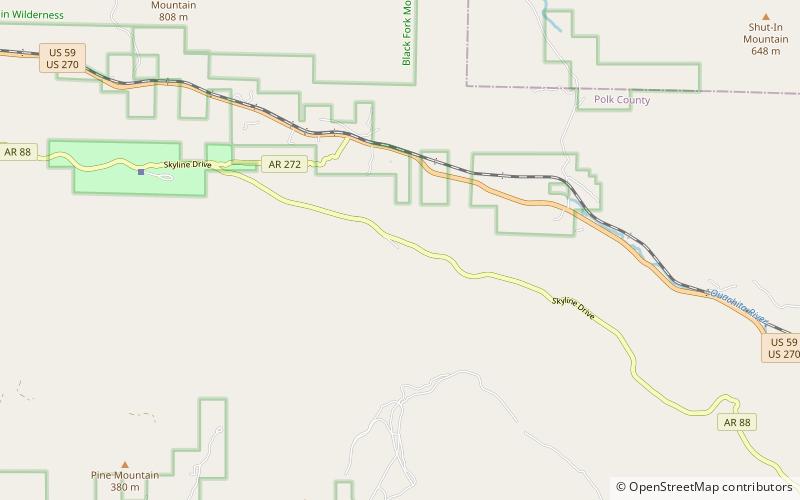
Rich Mountain is the second highest point of the U.S. Interior Highlands and Ouachita Mountains, and in the U.S. state of Arkansas; it is also the site of Queen Wilhelmina State Park. Rich Mountain is a long, generally east–west-trending ridge composed of hard sandstone. It is located just outside of Mena, Arkansas and is intersected by the Arkansas-Oklahoma border. Atop its summit is the Rich Mountain Lookout Tower, which is approximately 2.4 mi east-southeast of the Queen Wilhelmina Lodge. ()
Elevation: 2681 ftCoordinates: 34°40'27"N, 94°19'45"W
Address
Ouachita National Forest
ContactAdd
Social media
Add
Day trips
Rich Mountain – popular in the area (distance from the attraction)
Nearby attractions include: Queen Wilhelmina State Park.
