Jamaica State Park, Jamaica
Map

Map

Facts and practical information
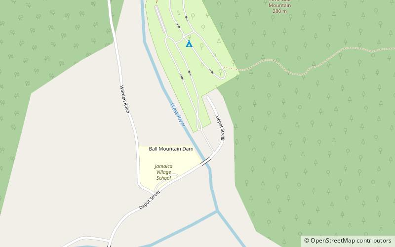
Jamaica State Park is a 772-acre state park in Jamaica, Vermont, on the shore of the West River. ()
Created: 1969Elevation: 679 ft a.s.l.Coordinates: 43°6'21"N, 72°46'24"W
Day trips
Jamaica State Park – popular in the area (distance from the attraction)
Nearby attractions include: Townshend State Park, First Congregational Church and Meetinghouse.


