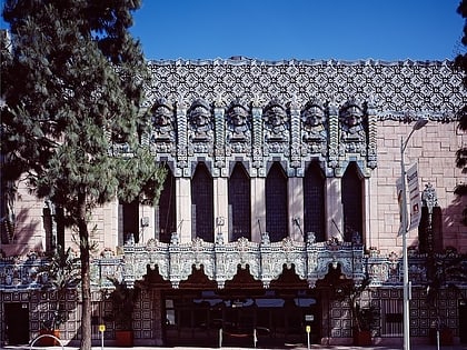
The Bloc Los Angeles, Los Angeles
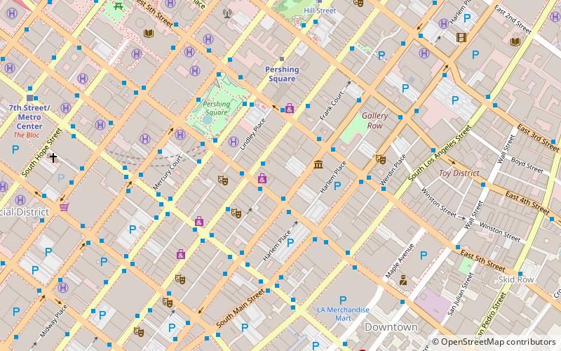
Map
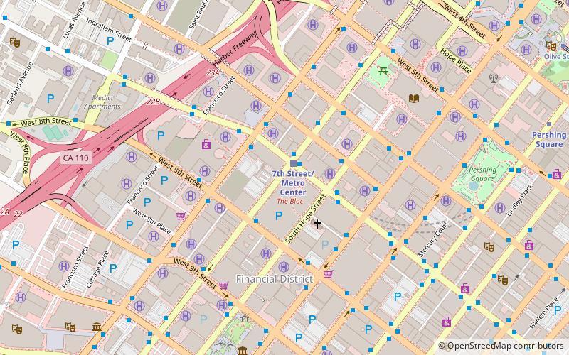
Map

Facts and practical information
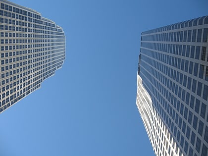
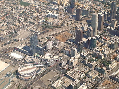
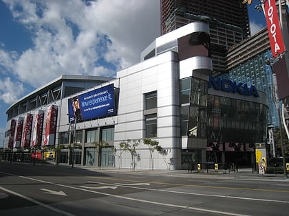
The Bloc, formerly Macy's Plaza and Broadway Plaza, is an open-air shopping center in downtown Los Angeles at 700 South Flower Street, in the Financial District. Its tenants include the downtown Los Angeles Macy's store, LA Fitness, Nordstrom Local, UNIQLO and the Sheraton Grand Los Angeles hotel. The shopping center has its own entrance to 7th Street/Metro Center station of the Los Angeles Metro system. ()
Coordinates: 34°2'54"N, 118°15'32"W
Day trips
The Bloc Los Angeles – popular in the area (distance from the attraction)
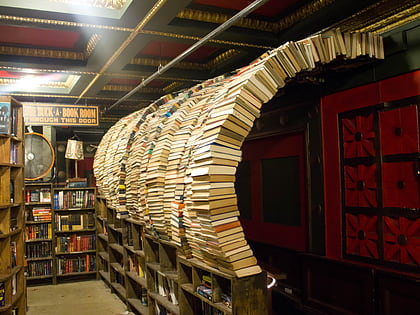
Nearby attractions include: The Last Bookstore, FIGat7th, Grand Hope Park, Microsoft Theater.
Frequently Asked Questions (FAQ)
Which popular attractions are close to The Bloc Los Angeles?
Nearby attractions include Fine Arts Building, Los Angeles (2 min walk), General Petroleum Building, Los Angeles (3 min walk), Figueroa Street, Los Angeles (3 min walk), 777 Tower, Los Angeles (3 min walk).
How to get to The Bloc Los Angeles by public transport?
The nearest stations to The Bloc Los Angeles:
Bus
Metro
Light rail
Bus
- Flower Street & 7th Street • Lines: J (1 min walk)
- Figueroa Street & 7th Street • Lines: J (3 min walk)
Metro
- 7th Street/Metro Center • Lines: B, D (1 min walk)
- Pershing Square • Lines: B, D (12 min walk)
Light rail
- 7th Street/Metro Center • Lines: A, E (2 min walk)
- Pico • Lines: A, E (17 min walk)

 Metro & Regional Rail