Brush Park, Detroit
Facts and practical information
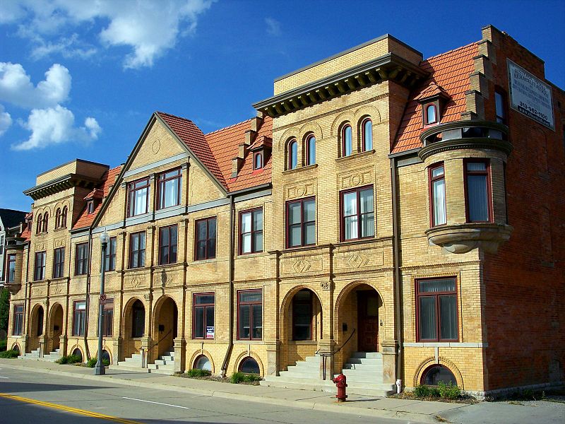
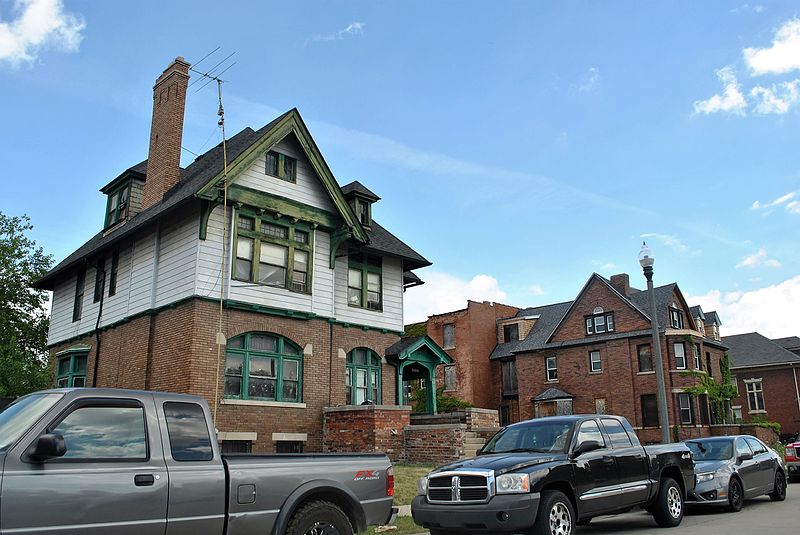
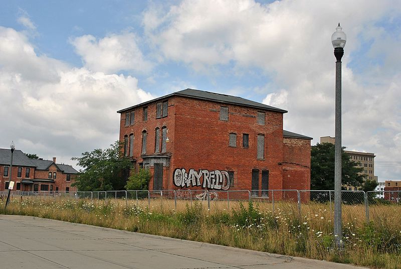
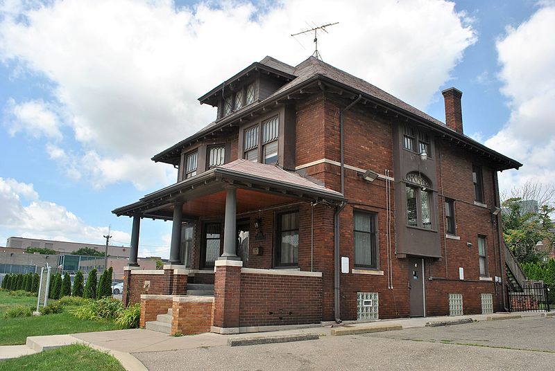
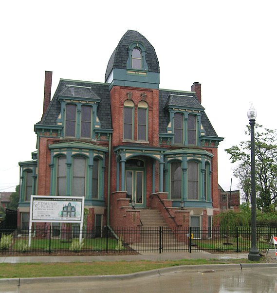
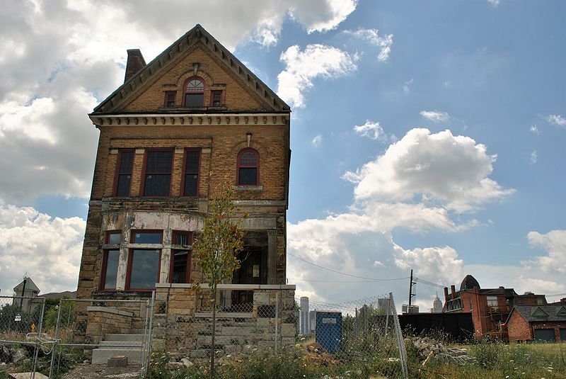
The Brush Park Historic District, frequently referred to as simply Brush Park, is a 22-block neighborhood located within Midtown Detroit, Michigan and designated by the city. It is bounded by Mack Avenue on the north, Woodward Avenue on the west, Beaubien Street on the east, and the Fisher Freeway on the south. The Woodward East Historic District, a smaller historic district completely encompassed by the larger Brush Park neighborhood, is located on Alfred, Edmund, and Watson Streets, from Brush Street to John R. Street, and is recognized by the National Register of Historic Places. ()
On Alfred, Edmund, and Watson Streets from Brush Street to John R StreetCass Corridor (Brush Park)Detroit
Brush Park – popular in the area (distance from the attraction)
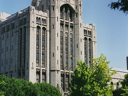
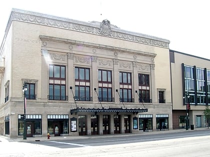
Nearby attractions include: Ford Field, Comerica Park, Cliff Bell's, Little Caesars Arena.
Frequently Asked Questions (FAQ)
Which popular attractions are close to Brush Park?
How to get to Brush Park by public transport?
Bus
- Woodward / Edmond • Lines: 04, 461, 462 (5 min walk)
- Woodward / Erskine NS • Lines: 04 (6 min walk)
Tram
- Sproat Street • Lines: QLine (7 min walk)
- Adelaide Street • Lines: QLine (8 min walk)
Light rail
- Grand Circus Park • Lines: Dpm (17 min walk)
- Broadway • Lines: Dpm (18 min walk)


