Jillson Mills, Willimantic
Map

Map

Facts and practical information
The Jillson Mills is a mill complex in Willimantic, Connecticut. The mills produced cotton thread throughout the lifespan of the operation of the mill. ()
Coordinates: 41°42'40"N, 72°12'14"W
Day trips
Jillson Mills – popular in the area (distance from the attraction)
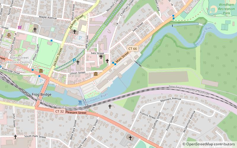
Nearby attractions include: Windham Textile and History Museum, Windham Town Hall, Jillson Square Park, Frog Bridge.
Frequently Asked Questions (FAQ)
Which popular attractions are close to Jillson Mills?
Nearby attractions include Windham Textile and History Museum, Willimantic (5 min walk), Jillson Square Park, Willimantic (8 min walk), Frog Bridge, Willimantic (8 min walk), William Jillson Stone House, Willimantic (9 min walk).
How to get to Jillson Mills by public transport?
The nearest stations to Jillson Mills:
Bus
Bus
- Main at Dunham • Lines: 671, 993 (2 min walk)
- Valley at Jackson • Lines: 674 (8 min walk)


