Rhinebeck Village Historic District, Rhinebeck
Map

Map

Facts and practical information
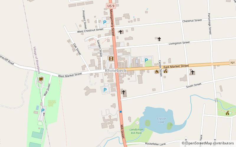
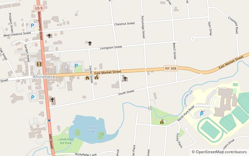
The Rhinebeck Village Historic District is located along US 9 and NY 308 in Rhinebeck, New York, United States. It is an area of 167 acres contains 272 buildings in a variety of architectural styles dating from over 200 years of the settlement's history. It was recognized as a historic district and added to the National Register of Historic Places in 1979 as a cohesive area of preserved historic buildings. ()
Coordinates: 41°55'36"N, 73°54'45"W
Address
Rhinebeck
ContactAdd
Social media
Add
Day trips
Rhinebeck Village Historic District – popular in the area (distance from the attraction)
Nearby attractions include: Church of the Good Shepherd, Benner House, United States Post Office, The Maples.
Frequently Asked Questions (FAQ)
Which popular attractions are close to Rhinebeck Village Historic District?
Nearby attractions include United States Post Office, Rhinebeck (2 min walk), Henry Delamater House, Rhinebeck (4 min walk), Church of the Good Shepherd, Rhinebeck (8 min walk), The Maples, Rhinebeck (17 min walk).


