Connecticut Landmarks, Hartford

Facts and practical information
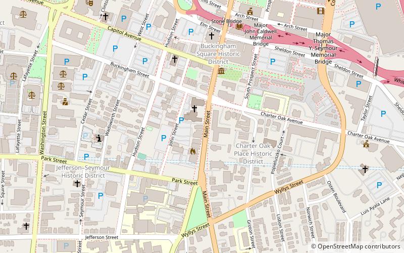
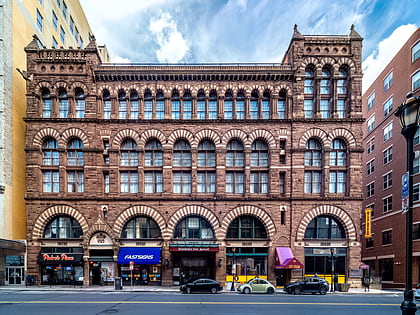
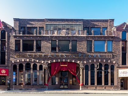
Connecticut Landmarks is a non-profit organization that has restored and operates significant historic house museums in Connecticut. Headquartered in Hartford, Connecticut, the organization was founded in 1936 as the Antiquarian & Landmarks Society. Connecticut Landmarks currently owns a statewide network of historic properties that span four centuries of history. The organization's mission is to "use historic properties to inspire an understanding of our complex past. The organization's vision is to have "A state whose understanding of its diverse past inspires its people to move forward together as one." The organization is part of the International Coalition of Sites of Conscience. ()
Connecticut Landmarks – popular in the area (distance from the attraction)
Nearby attractions include: XL Center, Wadsworth Atheneum, Dunkin' Donuts Park, Bushnell Park.
Frequently Asked Questions (FAQ)
Which popular attractions are close to Connecticut Landmarks?
How to get to Connecticut Landmarks by public transport?
Bus
- Hartford Megabus (20 min walk)
- Hartford Union Station (20 min walk)
Train
- Hartford (20 min walk)


