Jewell-Lightburne Historic District, Liberty
Map

Map

Facts and practical information
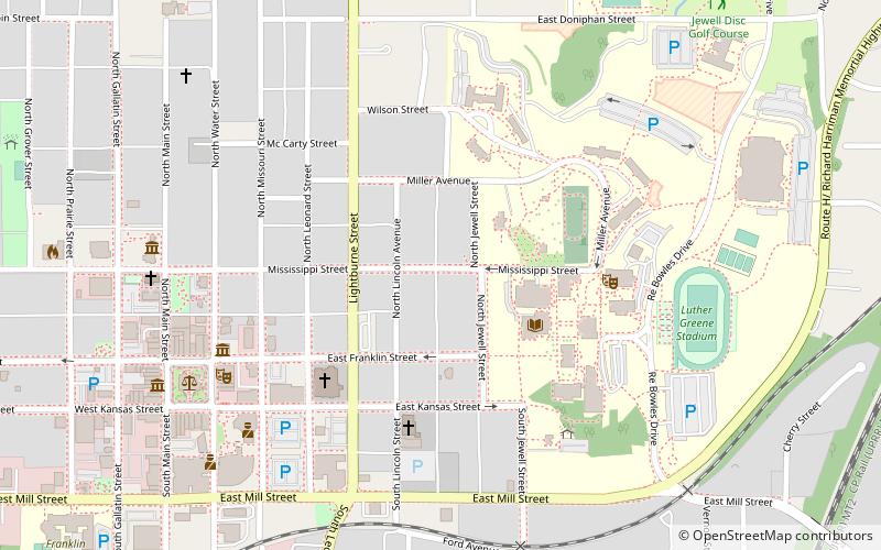
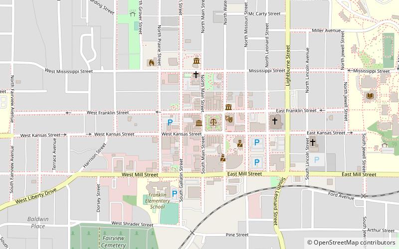
Jewell-Lightburne Historic District is a national historic district located at Liberty, Clay County, Missouri. It encompasses 236 contributing buildings in a predominantly residential section of Liberty. The district developed between about 1852 and 1946, and includes representative examples of Greek Revival, Queen Anne, Tudor Revival, Prairie School, and Bungalow / American Craftsman style residential architecture. Located in the district is the separately listed Frank Hughes Memorial Library. ()
Coordinates: 39°14'53"N, 94°24'54"W
Address
Liberty
ContactAdd
Social media
Add
Day trips
Jewell-Lightburne Historic District – popular in the area (distance from the attraction)
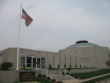
Nearby attractions include: Liberty Jail, Mt. Memorial Cemetery, Clay County Historical Society Museum, The Jesse James Bank Museum.
Frequently Asked Questions (FAQ)
Which popular attractions are close to Jewell-Lightburne Historic District?
Nearby attractions include Frank Hughes Memorial Library, Liberty (4 min walk), Mt. Memorial Cemetery, Liberty (4 min walk), Clay County Savings Association Building, Liberty (6 min walk), Arthur–Leonard Historic District, Liberty (7 min walk).


