Emancipation Park, Charlottesville
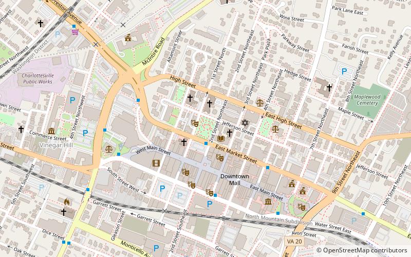
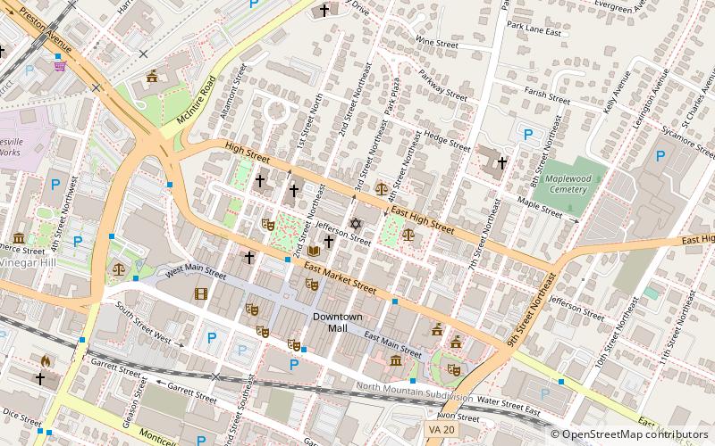
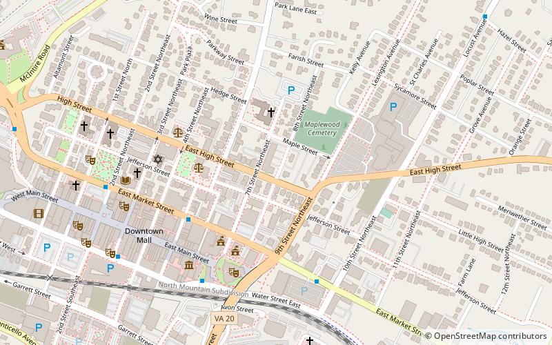
Map

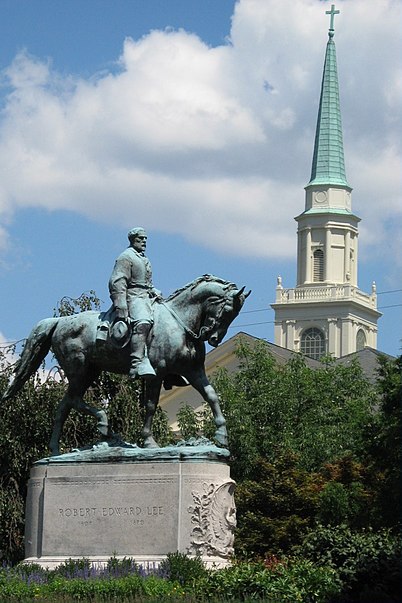
Gallery

Facts and practical information
Market Street Park, known as Lee Park until 2017, and as Emancipation Park from June 2017 to July 2018, is a public park in Charlottesville, Virginia. ()
Elevation: 476 ft a.s.l.Coordinates: 38°1'54"N, 78°28'50"W
Day trips
Emancipation Park – popular in the area (distance from the attraction)
Nearby attractions include: Downtown Mall, Jefferson Theater, Paramount Theater, Jefferson School City Center.
Frequently Asked Questions (FAQ)
Which popular attractions are close to Emancipation Park?
Nearby attractions include Robert E. Lee Monument, Charlottesville (1 min walk), Charlottesville and Albemarle County Courthouse Historic District, Charlottesville (1 min walk), The Garage, Charlottesville (1 min walk), Jefferson-Madison Regional Library, Charlottesville (2 min walk).
How to get to Emancipation Park by public transport?
The nearest stations to Emancipation Park:
Bus
Train
Bus
- E Market St at 2nd St NE • Lines: 4, T (1 min walk)
- E Water St at 3rd St SE • Lines: 2, 4 (4 min walk)
Train
- Charlottesville (16 min walk)


