Warriors Path State Park
Map

Gallery

Facts and practical information
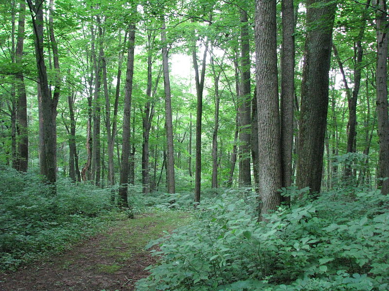
Warriors Path State Park is a Pennsylvania state park on 349 acres in Liberty Township, Bedford County, Pennsylvania, in the United States. It is named for the Great Indian Warpath that was used by the Iroquois in war raids with the Cherokee and other tribes. Warriors Path State Park is surrounded on three sides by the Raystown Branch Juniata River. The park is a seasonal day use park. The park can be accessed by foot from the main gate when the gate is closed November through mid-April. ()
Established: 1965 (61 years ago)Elevation: 889 ft a.s.l.Coordinates: 40°11'45"N, 78°15'24"W
