Arlington State Forest, Green Mountain National Forest
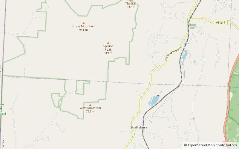
Map
Facts and practical information
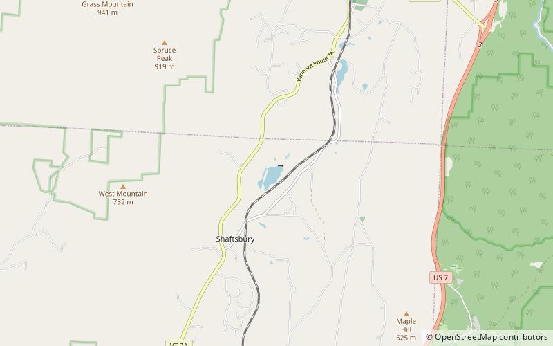
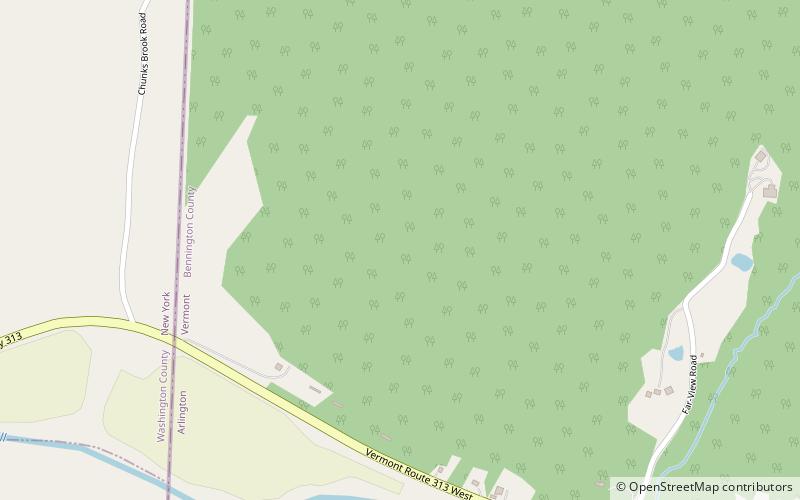
Arlington State Forest covers 225 acres in Arlington, Vermont in Bennington County. The forest is managed by the Vermont Department of Forests, Parks, and Recreation for timber resources and wildlife habitat. ()
Created: 1913Coordinates: 43°1'52"N, 73°12'10"W
Day trips
Arlington State Forest – popular in the area (distance from the attraction)
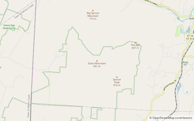
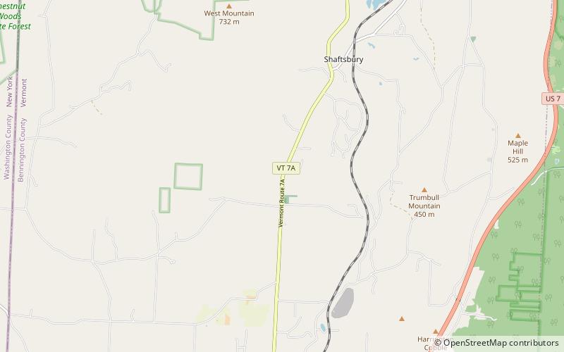
Nearby attractions include: Arlington Green Covered Bridge, Lake Shaftsbury State Park, Grass Mountain, Cossayuna Lake.

