Griffin Butte, Sawtooth National Forest
Map
Facts and practical information
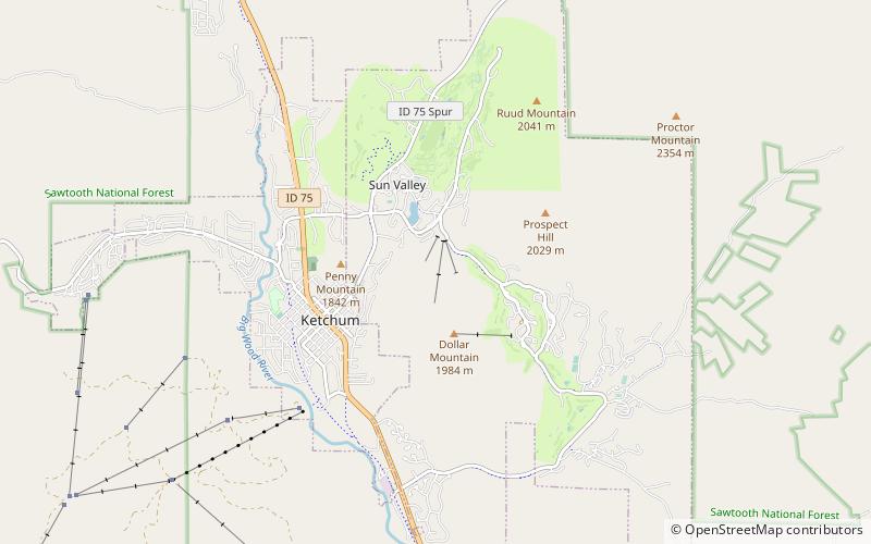
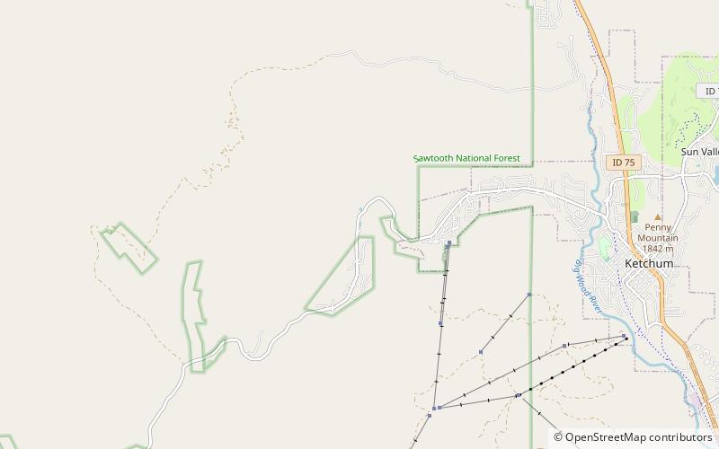
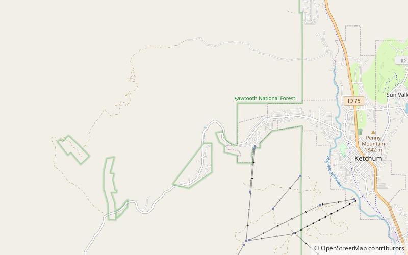
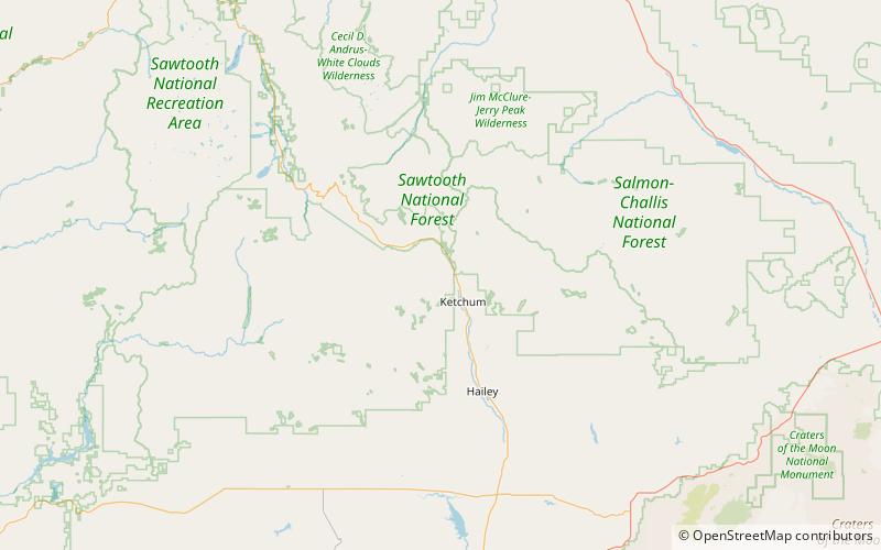
Griffin Butte, at 8,411 feet above sea level is a peak in the Smoky Mountains of Idaho. The peak is located in Sawtooth National Forest in Blaine County northwest of Ketchum. It is located in the watershed of the Big Wood River. It is about 1.75 mi west of Idaho State Highway 75. No roads or trails go to the summit. ()
Elevation: 8411 ftProminence: 871 ftCoordinates: 43°43'48"N, 114°25'12"W
Day trips
Griffin Butte – popular in the area (distance from the attraction)
Nearby attractions include: Dollar Mountain, Ketchum Sun Valley Historical Society Heritage & Ski Museum, Bald Mountain, Sun Valley Center for the Arts.
