Stark Park, Manchester
Map

Map

Facts and practical information
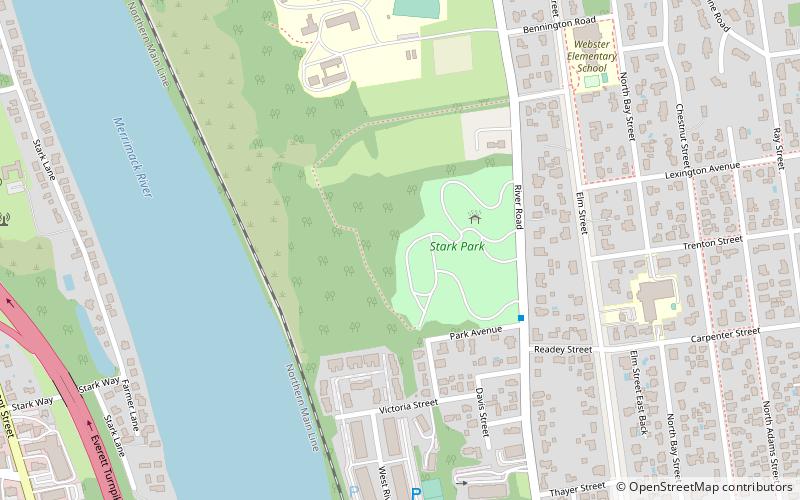
Stark Park is a city park located on the north side of Manchester, New Hampshire. It is a 30-acre parcel of land between River Road and the Merrimack River, which was once part of the larger farm property of American Revolutionary War hero John Stark. It was listed on the U.S. National Register of Historic Places in 2006, and the New Hampshire State Register of Historic Places in 2010. ()
Elevation: 236 ft a.s.l.Coordinates: 43°0'53"N, 71°28'16"W
Day trips
Stark Park – popular in the area (distance from the attraction)
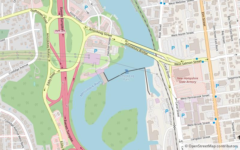
Nearby attractions include: Currier Museum of Art, Amoskeag Falls, Zimmerman House, St. George's School and Convent.
Frequently Asked Questions (FAQ)
Which popular attractions are close to Stark Park?
Nearby attractions include Gen. John Stark House, Manchester (13 min walk), William Parker Straw House, Manchester (14 min walk), Zimmerman House, Manchester (17 min walk), Manchester Community College, Manchester (20 min walk).

 Metrolink
 Metrolink / Rail


