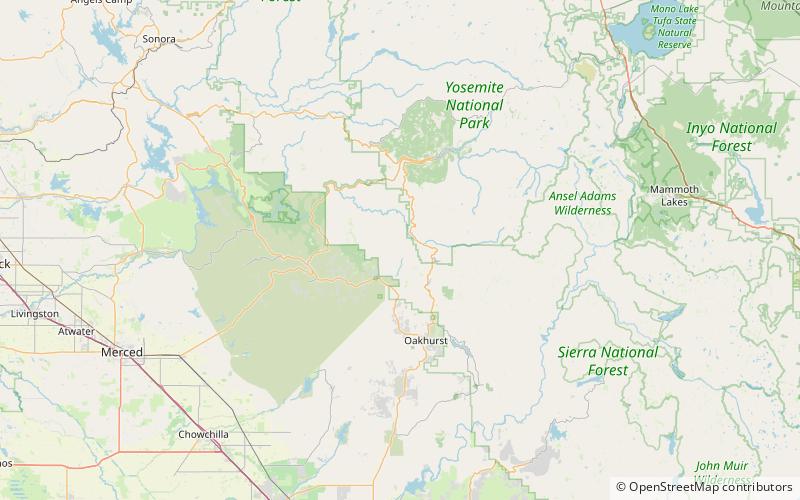
Chowchilla Mountains, Sierra National Forest

Map
Facts and practical information
The Chowchilla Mountains are a mountain range in Mariposa County, California. ()
Maximum elevation: 5801 ftCoordinates: 37°31'30"N, 119°43'19"W
Address
Sierra National Forest
ContactAdd
Social media
Add
Day trips
Chowchilla Mountains – popular in the area (distance from the attraction)
Nearby attractions include: Yosemite Mountain Sugar Pine Railroad, Pioneer Yosemite History Center, Wawona Covered Bridge, Acting Superintendent's Headquarters.


