DeNorval Unthank Park, Portland
Map

Map

Facts and practical information
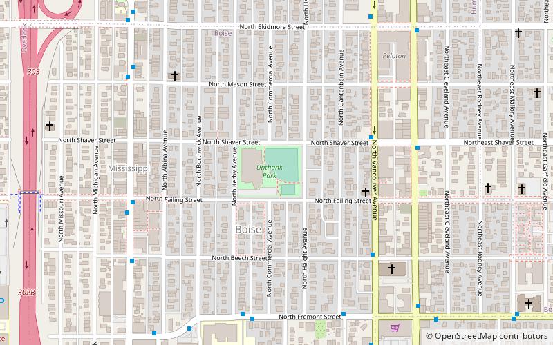
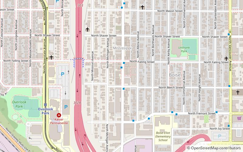
DeNorval Unthank Park, commonly known as Unthank Park, is a city park in the Boise neighborhood of Portland, Oregon, United States. ()
Created: 1966Elevation: 187 ft a.s.l.Coordinates: 45°33'5"N, 122°40'16"W
Address
510 N Shaver StNortheast Portland (Boise)Portland
ContactAdd
Social media
Add
Day trips
DeNorval Unthank Park – popular in the area (distance from the attraction)
Nearby attractions include: Mississippi Studios, St. Andrew Catholic Church, Portland Museum of Modern Art, Vancouver Avenue First Baptist Church.
Frequently Asked Questions (FAQ)
Which popular attractions are close to DeNorval Unthank Park?
Nearby attractions include Boise, Portland (3 min walk), Land Gallery, Portland (7 min walk), John Palmer House, Portland (9 min walk), Vancouver Avenue First Baptist Church, Portland (11 min walk).
How to get to DeNorval Unthank Park by public transport?
The nearest stations to DeNorval Unthank Park:
Bus
Light rail
Tram
Bus
- North Vancouver & Shaver • Lines: 44 (4 min walk)
- North Williams & Northeast Shaver • Lines: 44 (6 min walk)
Light rail
- Overlook Park • Lines: Yellow (14 min walk)
- North Prescott Street • Lines: Yellow (16 min walk)
Tram
- North Broadway & Ross • Lines: B (30 min walk)
- North Weidler & Ross • Lines: A (30 min walk)


