Gold Coast Historic District, Richland
Map

Map

Facts and practical information
The Gold Coast Historic District is a residential area in Richland, Washington, the town that was built during the World War II Manhattan Project to house workers at the Hanford atomic plant. The homes within the district date from 1948-49 and are associated with the Cold War expansion of plutonium manufacturing at the plant. ()
Built: 1948 (78 years ago)Coordinates: 46°17'54"N, 119°16'16"W
Address
Richland
ContactAdd
Social media
Add
Day trips
Gold Coast Historic District – popular in the area (distance from the attraction)
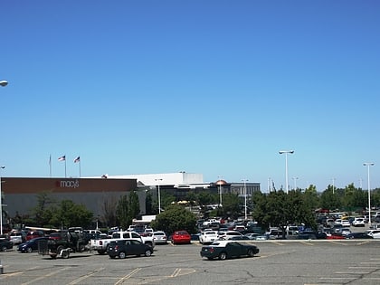
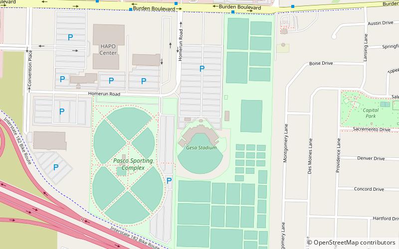
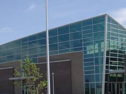
Nearby attractions include: Toyota Center, Columbia Center, Gesa Stadium, Three Rivers Convention Center.


