Herman Point, Blue Knob State Park
Map

Map

Facts and practical information
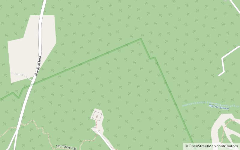
Herman Point is a satellite of Blue Knob mountain in Pennsylvania and one of the few summits in the state which exceed 3,000 feet feet. This summit is located in the Blue Knob State Park and serves as the trailhead for the "Lost Turkey Trail". Herman Point is also the site of FAA towers and the old fire lookout which has since been removed. ()
Elevation: 3034 ftCoordinates: 40°17'54"N, 78°34'18"W
Address
Blue Knob State Park
ContactAdd
Social media
Add
Day trips
Herman Point – popular in the area (distance from the attraction)
Nearby attractions include: Blue Knob.

