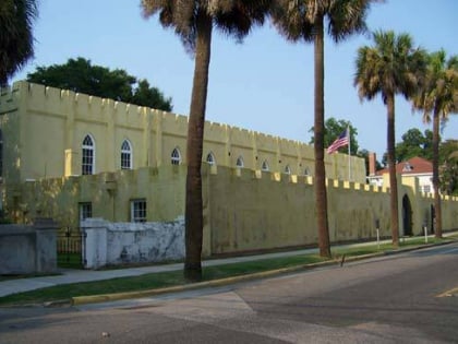
St. Peter's Catholic Church, Beaufort
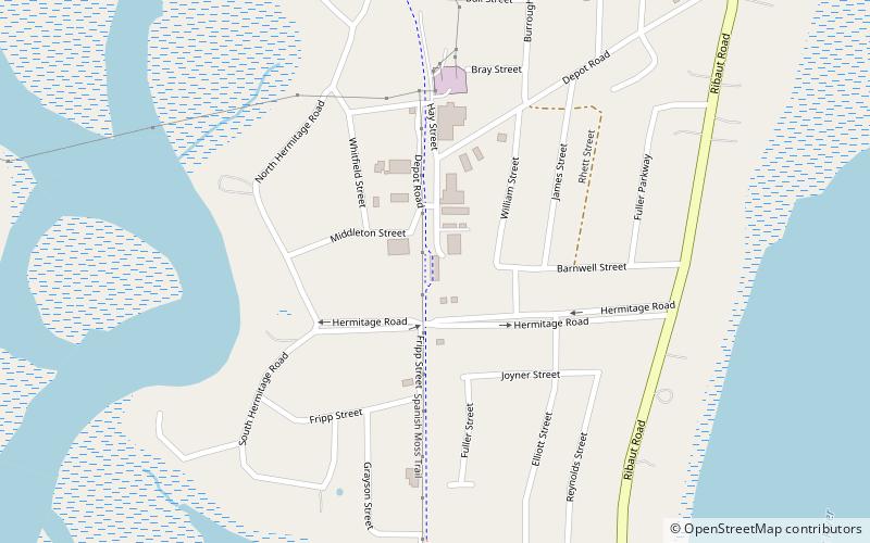
Map
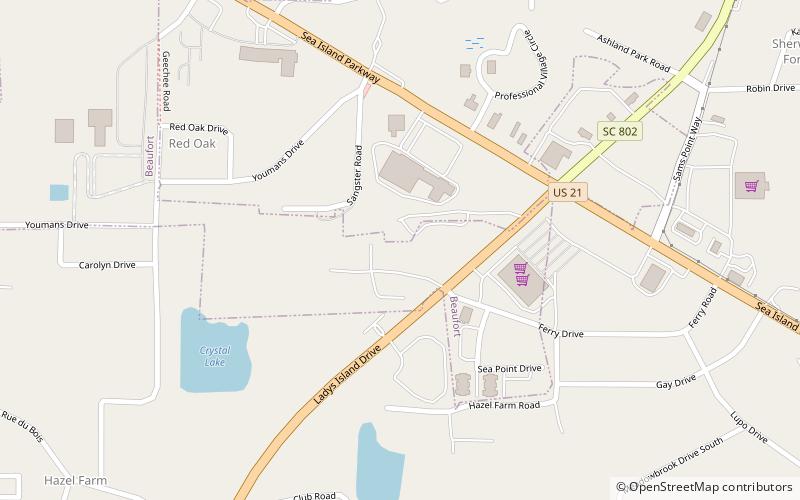
Map

Facts and practical information
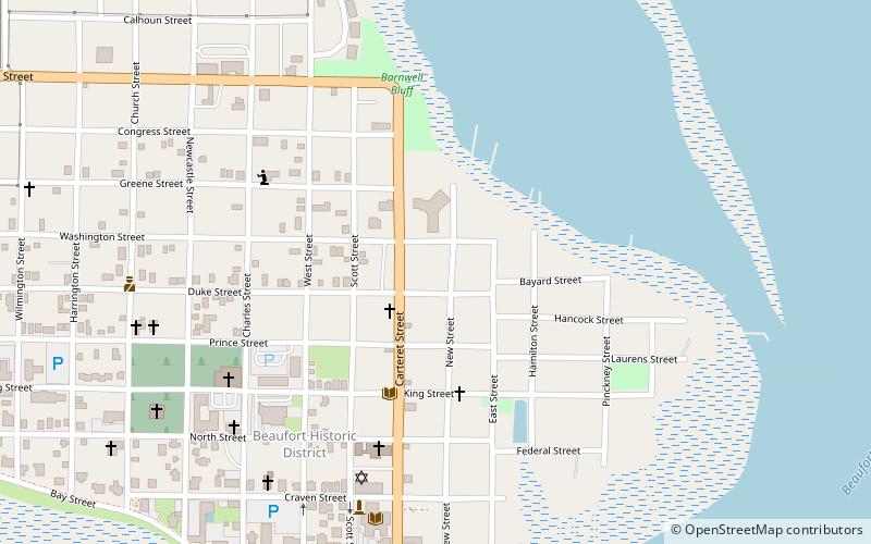
St. Peter's Catholic Church (address: 70 Ladys Island Dr) is a place located in Beaufort (South Carolina state) and belongs to the category of church.
It is situated at an altitude of 10 feet, and its geographical coordinates are 32°24'46"N latitude and 80°39'13"W longitude.
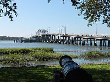
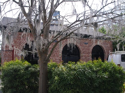
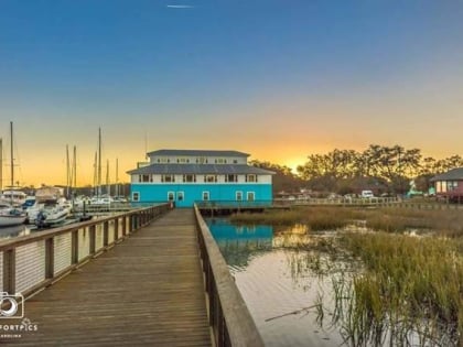
Among other places and attractions worth visiting in the area are: Lady's Island Marina (park, 14 min walk), Richard V. Woods Memorial Bridge (bridge, 32 min walk), Marshlands (vernacular architecture, 41 min walk).
Coordinates: 32°24'46"N, 80°39'13"W
Day trips
St. Peter's Catholic Church – popular in the area (distance from the attraction)
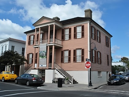
Nearby attractions include: Spanish Moss Trail, John Mark Verdier House, Richard V. Woods Memorial Bridge, Reconstruction Era National Monument.

