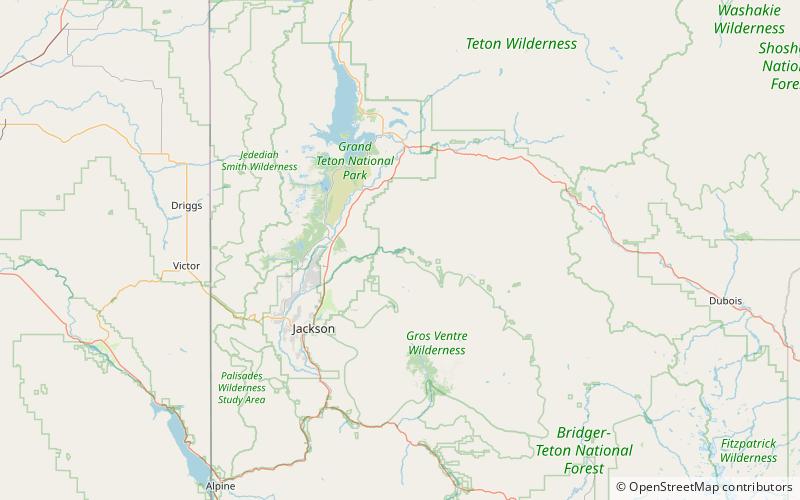
Lower Slide Lake, Bridger–Teton National Forest
Map

Map

Facts and practical information
Lower Slide Lake is located in Bridger-Teton National Forest, in the U.S. state of Wyoming. The natural lake was created on June 23, 1925, when the Gros Ventre landslide dammed the Gros Ventre River. The lake was once much larger, however part of the rock dam failed less than two years later, on May 18, 1927, causing deadly flooding downstream. The lake waters have natural and stocked fish including lake and Snake River fine-spotted cutthroat trout, and mountain whitefish. ()
Elevation: 6909 ft a.s.l.Coordinates: 43°38'2"N, 110°31'30"W
Address
Bridger–Teton National Forest
ContactAdd
Social media
Add
Day trips
Lower Slide Lake – popular in the area (distance from the attraction)
Nearby attractions include: Hunter Hereford Ranch Historic District.

