College Terrace, Palo Alto

Map
Facts and practical information
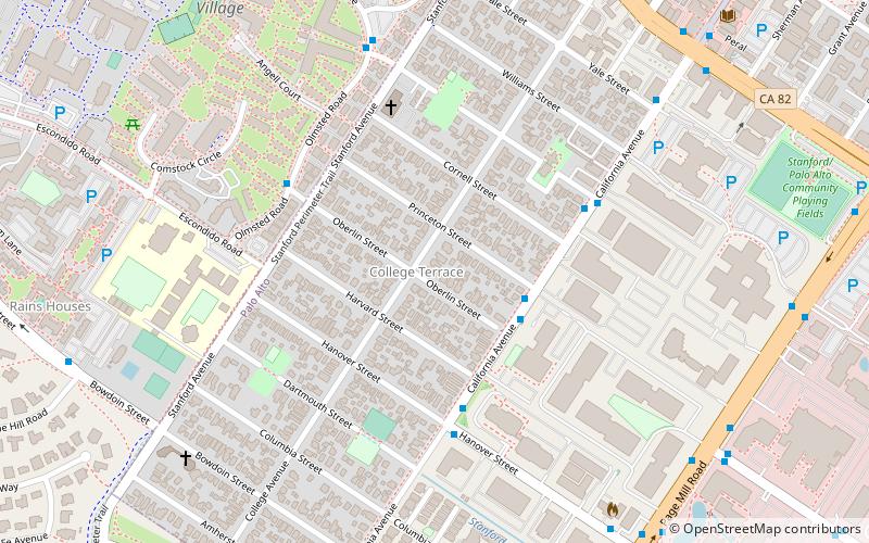
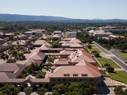
College Terrace is a neighborhood in the city of Palo Alto, California, adjacent to Stanford University. ()
Coordinates: 37°25'18"N, 122°9'4"W
Address
Palo Alto (College Terrace)Palo Alto
ContactAdd
Social media
Add
Day trips
College Terrace – popular in the area (distance from the attraction)
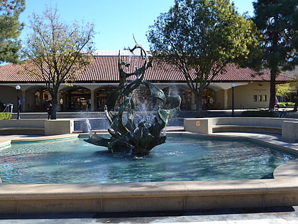
Nearby attractions include: Stanford Memorial Church, White Memorial Fountain, Hoover Tower, Tanner Fountain.
Frequently Asked Questions (FAQ)
Which popular attractions are close to College Terrace?
Nearby attractions include Stanford, Palo Alto (13 min walk), FedEx Office Print & Ship Center, Palo Alto (16 min walk), Toyon Hall, Palo Alto (20 min walk), Hanna–Honeycomb House, Palo Alto (21 min walk).
How to get to College Terrace by public transport?
The nearest stations to College Terrace:
Bus
Train
Bus
- South California Avenue & Princeton Street • Lines: 89 (3 min walk)
- Hanover Street & South California Avenue • Lines: 89 (5 min walk)
Train
- California Avenue (19 min walk)
- Stanford (31 min walk)


