Mount Pleasant Downtown Historic District, Mount Pleasant
Map

Gallery

Facts and practical information
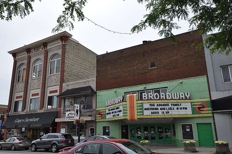
The Mount Pleasant Downtown Historic District is a commercial historic district roughly bounded by Mosher, Franklin, Illinois and Washington Streets in Mount Pleasant, Michigan. It was listed on the National Register of Historic Places in 2014. ()
Coordinates: 43°36'16"N, 84°46'34"W
Address
Mount Pleasant
ContactAdd
Social media
Add
Day trips
Mount Pleasant Downtown Historic District – popular in the area (distance from the attraction)
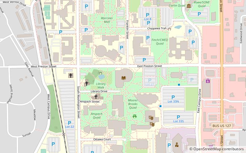
Nearby attractions include: Museum of Cultural and Natural History, St. John's Episcopal Church, CMU Park Library, Brooks Astronomical Observatory.
Frequently Asked Questions (FAQ)
Which popular attractions are close to Mount Pleasant Downtown Historic District?
Nearby attractions include St. John's Episcopal Church, Mount Pleasant (9 min walk), Museum of Cultural and Natural History, Mount Pleasant (22 min walk).


