Tahkenitch Lake, Oregon Dunes National Recreation Area

Gallery (1)
Map
Map
Facts and practical information
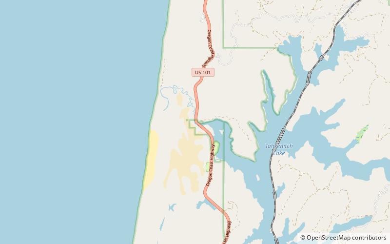
Tahkenitch Lake, at 2,118 acres, is one of the larger lakes along the coast of the U.S. state of Oregon. Fed by runoff from a basin of about 34 square miles, it lies east of U.S. Route 101 in Douglas County between Florence and Reedsport. Its name comes from a Lower Umpqua placename meaning "having arms running out like a crab". ()
Maximum depth: 23 ftElevation: 39 ft a.s.l.Coordinates: 43°48'28"N, 124°9'14"W
Address
Oregon Dunes National Recreation Area
ContactAdd
Social media
Add
Day trips
Tahkenitch Lake – popular in the area (distance from the attraction)
Nearby attractions include: Perkins Lake.
