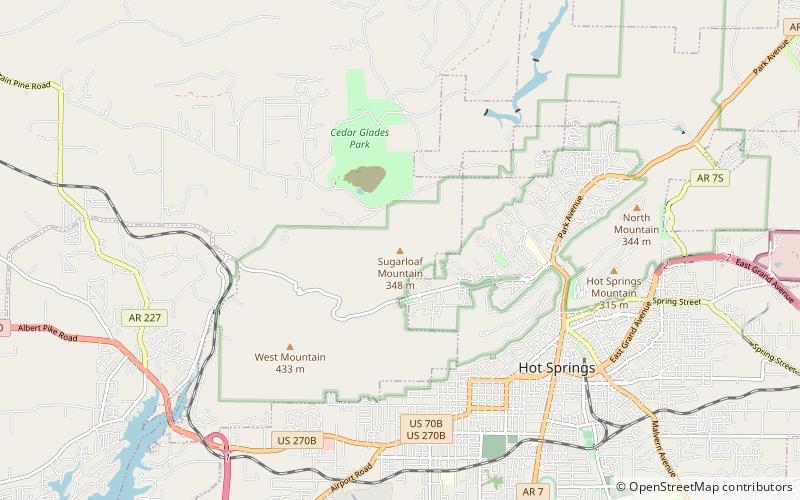
Sugarloaf Mountain, Hot Springs National Park
Map

Map

Facts and practical information
Sugar Loaf Mountainis an accessible butte in the vicinity of Greers Ferry Lake near Heber Springs in Cleburne County, Arkansas, USA. ()
Coordinates: 34°31'13"N, 93°4'56"W
Address
Hot Springs National Park
ContactAdd
Social media
Add
Day trips
Sugarloaf Mountain – popular in the area (distance from the attraction)
Nearby attractions include: Magic Springs Theme and Water Park, Oaklawn Racing Casino Resort, Central Avenue Historic District, Arkansas Alligator Farm and Petting Zoo.


