Magical Forest, Las Vegas
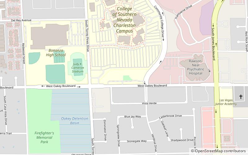
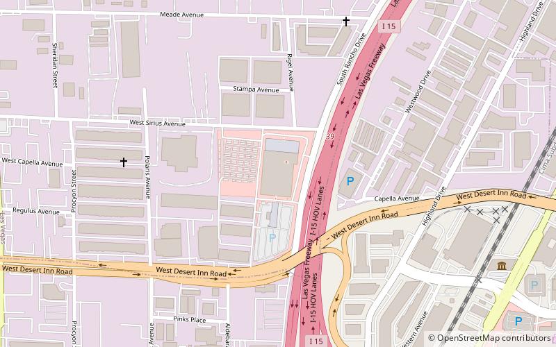
Map
Facts and practical information
Magical Forest (address: 6300 W Oakey Blvd) is a place located in Las Vegas (Nevada state) and belongs to the category of amusement park, theme park.
It is situated at an altitude of 2326 feet, and its geographical coordinates are 36°9'8"N latitude and 115°13'55"W longitude.
Among other places and attractions worth visiting in the area are: Jones Boulevard (street, 10 min walk), Rainbow Park (park, 24 min walk), Arizona Charlie's Decatur (gambling, 41 min walk).
Coordinates: 36°9'8"N, 115°13'55"W
Address
6300 W Oakey BlvdCanyon GateLas Vegas 89146-1122
Contact
+1 702-259-3741
Social media
Add
Day trips


Frequently Asked Questions (FAQ)
Which popular attractions are close to Magical Forest?
Nearby attractions include Jones Boulevard, Las Vegas (10 min walk), Rainbow Park, Las Vegas (24 min walk).