Poletown East, Detroit
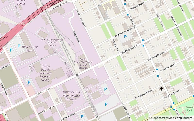
Map
Facts and practical information
Poletown East is a neighborhood area of Detroit, Michigan, bordering the enclave city of Hamtramck. The area was named after the Polish immigrants who originally lived in the area. A portion of residential area known as Poletown became the General Motors Detroit/Hamtramck Assembly plant in 1981 with those residents relocated by General Motors and the cities of Detroit and Hamtramck which claimed eminent domain in order to make way for a new automobile plant. ()
Coordinates: 42°22'7"N, 83°2'51"W
Address
Chene Park (Poletown East)Detroit
ContactAdd
Social media
Add
Getting there by public transportation
Public transportation stops near this location
- Bus
- Tram
 Bus
Bus
- Calculate routeChene / Ferry 6 min walk
- Calculate routeWarren / St Aubin 9 min walk
- Calculate routeFerry Street 29 min walk
- Calculate routeWarren Avenue 31 min walk
- Calculate routeAmsterdam Street 31 min walk
Day trips
Poletown East – popular in the area (distance from the attraction)
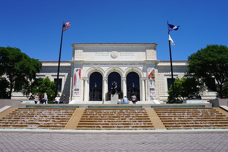
Nearby attractions include: Detroit Institute of Arts, Ford Piquette Avenue Plant, Charles H. Wright Museum of African American History, Detroit Historical Museum.


Frequently Asked Questions (FAQ)
Which popular attractions are close to Poletown East?
Nearby attractions include St. Stanislaus Bishop and Martyr Roman Catholic Church, Detroit (6 min walk), Peacemakers International, Detroit (8 min walk), St. Albertus Roman Catholic Church, Detroit (18 min walk), Sweetest Heart of Mary Roman Catholic Church, Detroit (19 min walk).
How to get to Poletown East by public transport?
The nearest stations to Poletown East:
Bus
Tram
Bus
- Chene / Ferry • Lines: 52 (6 min walk)
- Warren / St Aubin • Lines: 08 (9 min walk)
Tram
- Ferry Street • Lines: QLine (29 min walk)
- Warren Avenue • Lines: QLine (31 min walk)