Horse Mesa Dam, Tonto National Forest

Gallery (2)
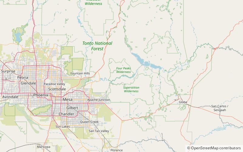
Map
Map
Gallery
Facts and practical information
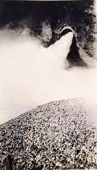
The Horse Mesa Dam is a concrete thin arch dam located in the Superstition Mountains, northeast of Phoenix in Maricopa County, Arizona. ()
Alternative names: Opened: 1927 (99 years ago)Length: 660 ftHeight: 305 ftReservoir area: 4.15 mi²Coordinates: 33°35'27"N, 111°20'38"W
Address
Tonto National Forest
ContactAdd
Social media
Add
Day trips

