Mosaic Templars Cultural Center, Little Rock
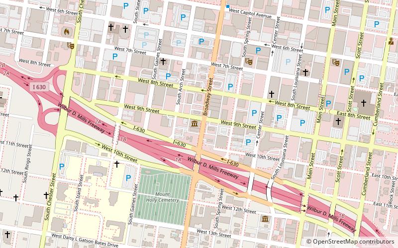
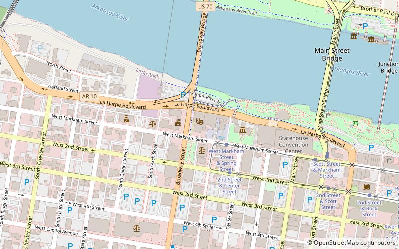
Map
Facts and practical information
The Mosaic Templars Cultural Center is a nationally-accredited, world-class Department of Arkansas Heritage Museum and Cultural Center in Little Rock, Arkansas, United States. Its mission is to collect, preserve, interpret and celebrate African American history, culture and community in Arkansas from 1870 to the present, and to inform and educate the public about Black achievements, especially in business, politics and the arts. ()
Established: 2008 (18 years ago)Coordinates: 34°44'27"N, 92°16'37"W
Address
501 W 9th StDowntown Little RockLittle Rock 72201-4111
Contact
+1 501-683-3593
Social media
Add
Day trips
Mosaic Templars Cultural Center – popular in the area (distance from the attraction)
Nearby attractions include: Simmons Bank Arena, Dickey-Stephens Park, Statehouse Convention Center, Arkansas Arts Center.
Frequently Asked Questions (FAQ)
When is Mosaic Templars Cultural Center open?
Mosaic Templars Cultural Center is open:
- Monday closed
- Tuesday 9 am - 5 pm
- Wednesday 9 am - 5 pm
- Thursday 9 am - 5 pm
- Friday 9 am - 5 pm
- Saturday 9 am - 5 pm
- Sunday closed
Which popular attractions are close to Mosaic Templars Cultural Center?
Nearby attractions include Mount Holly Mausoleum, Little Rock (5 min walk), First Missionary Baptist Church, Little Rock (5 min walk), First United Methodist Church, Little Rock (5 min walk), Mount Holly Cemetery, Little Rock (6 min walk).
How to get to Mosaic Templars Cultural Center by public transport?
The nearest stations to Mosaic Templars Cultural Center:
Tram
Bus
Train
Tram
- 2nd Street & Center Street • Lines: Blue, Green (14 min walk)
- West Markham Street & Scott Street • Lines: Blue, Green (17 min walk)
Bus
- Central Arkansas Transit Authority Bus Terminal (15 min walk)
- Greyhound.. Little Rock. AR (28 min walk)
Train
- Little Rock (23 min walk)


