Pinal Peak, Tonto National Forest


Facts and practical information
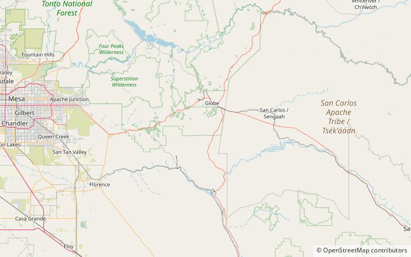
Pinal Peak, located in southern Gila County, Arizona, is the highest point in the Pinal Mountains, with an elevation of 7,848 feet. It is the highest point of land located in between the Salt and Gila rivers in Arizona before they merge, making it visible from miles away on a clear day. The peak ranks as the 11th most prominent in Arizona and has a topographic isolation of 35 miles, with the nearest point of land of equal or greater elevation being to the southeast in the Santa Teresa Mountains. Pinal Peak is slightly east of the approximate center of the Pinal Mountains. Despite being the most prominent peak in Gila County, it is not the highest point in the county. That title goes to Myrtle Point with an elevation between 7,963 and 8,003 feet, which lies atop the edge of the Mogollon Rim which forms the county line with Coconino County. The nearest population is in the Globe/Miami, Arizona area, just a few miles north of the range and peak. ()
Pinal Peak – popular in the area (distance from the attraction)
Nearby attractions include: Pinal Mountains.

