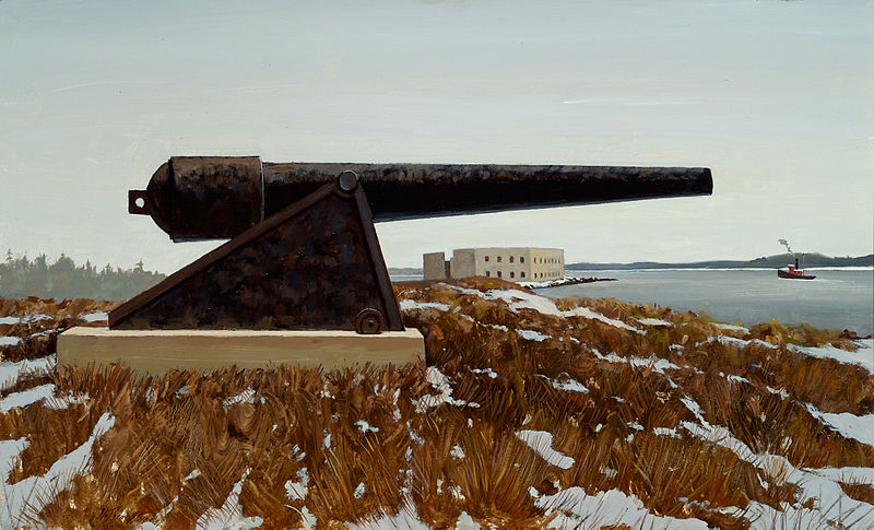
Fort Popham, Phippsburg
Map

Gallery

Facts and practical information
Fort Popham is a Civil War-era coastal defense fortification at the mouth of the Kennebec River in Phippsburg, Maine. It is located in sight of the short-lived Popham Colony and, like the colony, named for George Popham, the colony's leader. ()
Built: 1857 (169 years ago)Coordinates: 43°45'17"N, 69°47'0"W
Address
Popham RoadPhippsburg 04562
ContactAdd
Social media
Add
Day trips
Fort Popham – popular in the area (distance from the attraction)
Nearby attractions include: Hendricks Head Light, Pond Island Light, Squirrel Point Light, McCobb–Hill–Minott House.


