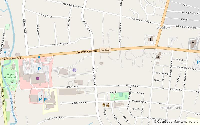
Abbeville, Lancaster
Map

Map

Facts and practical information
Abbeville, also known as Mt. Pleasant, is a historic home located at 1140 Columbia Avenue in Lancaster Township, Lancaster County, Pennsylvania. ()
Coordinates: 40°2'16"N, 76°20'7"W
Address
Lancaster
ContactAdd
Social media
Add
Day trips
Abbeville – popular in the area (distance from the attraction)
Nearby attractions include: Wheatland, Unitarian Universalist Church of Lancaster, North Museum of Nature & Science, Hamilton Watch Complex.
Frequently Asked Questions (FAQ)
Which popular attractions are close to Abbeville?
Nearby attractions include Northeast Lancaster Township Historic District, Lancaster (9 min walk), LancasterHistory.org, Lancaster (11 min walk), Louise Arnold Tanger Arboretum, Lancaster (12 min walk), Wheatland, Lancaster (12 min walk).
How to get to Abbeville by public transport?
The nearest stations to Abbeville:
Bus
Bus
- Buchanan and State Street • Lines: 2 (18 min walk)
- North President Avenue and James Street • Lines: 2 (19 min walk)


