Paintsville City Hall, Paintsville
Map

Map

Facts and practical information
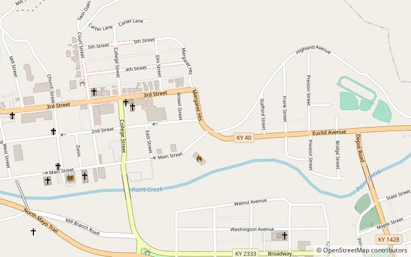
Paintsville City Hall was completed in January 1940 by the WPA, in order to house the city government, fire department, and police department of Paintsville, Kentucky. The structure is located at 101 Euclid Avenue in downtown Paintsville. It was added to the National Register of Historic Places on January 26, 1989. ()
Built: 1940 (86 years ago)Coordinates: 37°48'54"N, 82°48'9"W
Address
Paintsville
ContactAdd
Social media
Add
Day trips
Paintsville City Hall – popular in the area (distance from the attraction)
Nearby attractions include: First Baptist Church, Johnson County Public Library, Mayo Memorial United Methodist Church, Francis M. Stafford House.
Frequently Asked Questions (FAQ)
Which popular attractions are close to Paintsville City Hall?
Nearby attractions include First Baptist Church, Paintsville (5 min walk), Paintsville Public Library Building, Paintsville (6 min walk), Francis M. Stafford House, Paintsville (7 min walk), Mayo Memorial United Methodist Church, Paintsville (7 min walk).


