Albertus L. Meyers Bridge, Allentown
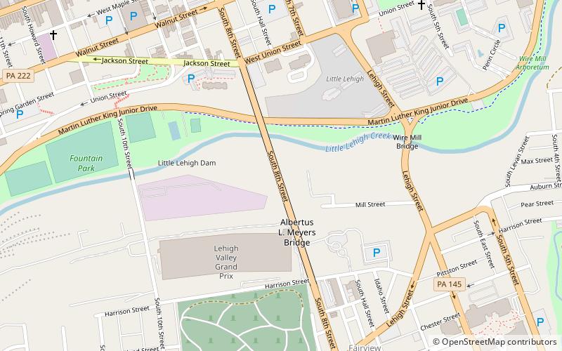
Map

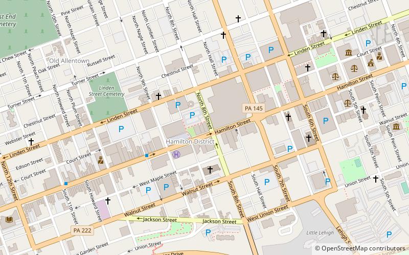
Map

Facts and practical information
The Albertus L. Meyers Bridge is a reinforced concrete open-spandrel arch bridge located in Allentown, Pennsylvania, in the United States. The bridge is "one of the earliest surviving examples of monumental, reinforced concrete construction," according to the Historic American Engineering Record. ()
Length: 2650 ftWidth: 45 ftHeight: 138 ftCoordinates: 40°35'47"N, 75°28'16"W
Address
SouthsideAllentown
ContactAdd
Social media
Add
Day trips
Albertus L. Meyers Bridge – popular in the area (distance from the attraction)
Nearby attractions include: PPL Center, Allentown Art Museum, Lehigh Valley Heritage Museum, Zollinger-Harned Company Building.
Frequently Asked Questions (FAQ)
Which popular attractions are close to Albertus L. Meyers Bridge?
Nearby attractions include Gauff-Roth House, Allentown (9 min walk), High German Evangelical Reformed Church, Allentown (11 min walk), Liberty Bell Museum, Allentown (11 min walk), Strand Theater, Allentown (11 min walk).
How to get to Albertus L. Meyers Bridge by public transport?
The nearest stations to Albertus L. Meyers Bridge:
Bus
Bus
- Allentown Terminal (21 min walk)


