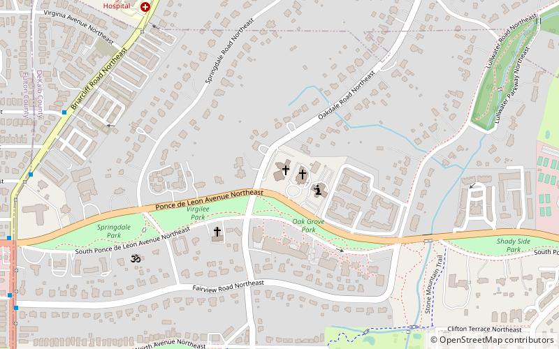
St. John's Lutheran Church, Atlanta

Map
Facts and practical information
St. John's Lutheran Church is a Lutheran church in Atlanta, Georgia. First organized in 1869, the church moved to its current location in 1959. ()
Coordinates: 33°46'32"N, 84°20'27"W
Address
Druid HillsAtlanta
ContactAdd
Social media
Add
Day trips
St. John's Lutheran Church – popular in the area (distance from the attraction)
Nearby attractions include: Clermont Lounge, Virginia–Highland, Jimmy Carter Library and Museum, Druid Hills Golf Club.
Frequently Asked Questions (FAQ)
Which popular attractions are close to St. John's Lutheran Church?
Nearby attractions include Rainbow Terrace, Atlanta (9 min walk), Callanwolde Fine Arts Center, Atlanta (13 min walk), Atkins Park, Atlanta (14 min walk), New Highland Park, Atlanta (17 min walk).
How to get to St. John's Lutheran Church by public transport?
The nearest stations to St. John's Lutheran Church:
Metro
Bus
Metro
- Edgewood/Candler Park • Lines: Blue, Green (25 min walk)
Bus
- Clifton - Gambrell Hall • Lines: Cctma (39 min walk)


