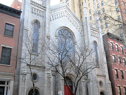
Stonewall National Monument, New York City
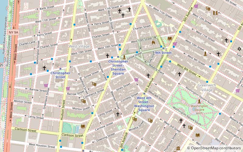
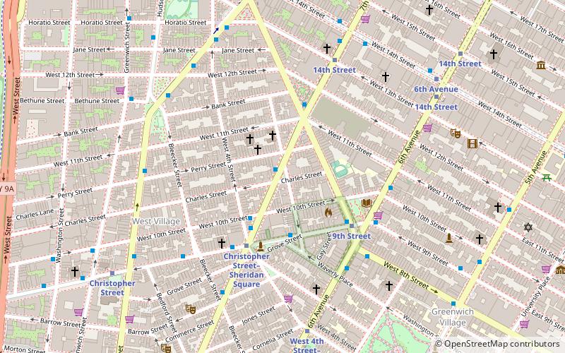
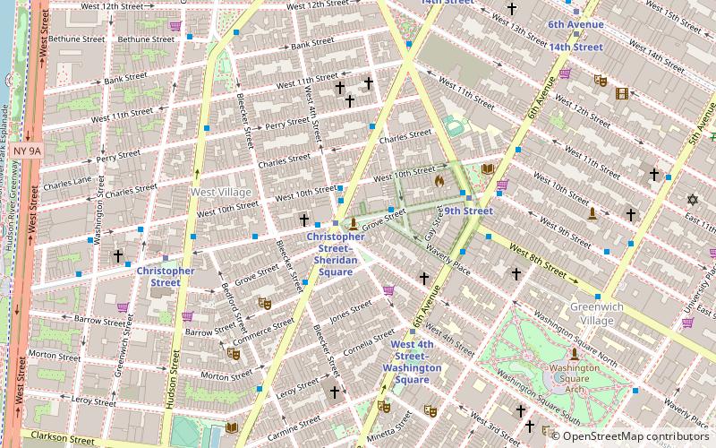
Map
Gallery
Facts and practical information
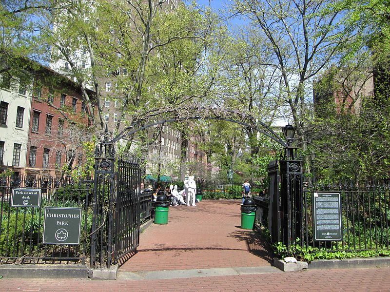
Stonewall National Monument is a 7.7-acre U.S. National Monument in the West Village neighborhood of Greenwich Village in Lower Manhattan, New York City. The designated area includes the 0.19-acre Christopher Park and the block of Christopher Street bordering the park, which is directly across the street from the Stonewall Inn—the site of the Stonewall riots of June 28, 1969, widely regarded as the start of the modern LGBT rights movement in the United States. ()
Alternative names: Area: 7.7 acres (0.012 mi²)Elevation: 20 ft a.s.l.Coordinates: 40°44'1"N, 74°0'8"W
Address
West 4th StreetDowntown Manhattan (West Village)New York City 10014
Contact
+1 212-668-2577
Social media
Add
Day trips
Stonewall National Monument – popular in the area (distance from the attraction)
Nearby attractions include: Marie's Crisis, Washington Court, IFC Center, Blue Note.
Frequently Asked Questions (FAQ)
Which popular attractions are close to Stonewall National Monument?
Nearby attractions include National LGBTQ Wall of Honor, New York City (1 min walk), Church of St. Joseph in Greenwich Village, New York City (1 min walk), Hess triangle, New York City (2 min walk), Greenwich Village, New York City (2 min walk).
How to get to Stonewall National Monument by public transport?
The nearest stations to Stonewall National Monument:
Metro
Bus
Train
Metro
- Christopher Street–Sheridan Square • Lines: 1, 2 (1 min walk)
- 9th Street • Lines: Hob–33, Jsq–33, JSQ–33 via HOB (3 min walk)
Bus
- Bethune Street & Greenwich Street • Lines: M11 (9 min walk)
- Greenwich St/ Horatio St • Lines: M11 (11 min walk)
Train
- New York Penn Station (32 min walk)

 Subway
 Manhattan Buses
