Lincoln Park, Denver
Map

Map

Facts and practical information
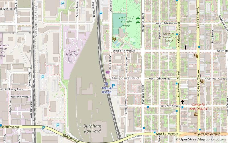
Lincoln Park is a neighborhood and public park close to downtown Denver, Colorado and the location of the Art District on Santa Fe. The neighborhood is one of Denver's oldest and is just to the south of the area where Denver was first settled in the 1850s. Many houses date from about 1900. The neighborhood is sometimes called "La Alma/Lincoln Park" or the West Side. ()
Coordinates: 39°43'57"N, 105°0'18"W
Address
Central Denver (Lincoln Park)Denver
ContactAdd
Social media
Add
Day trips
Lincoln Park – popular in the area (distance from the attraction)
Nearby attractions include: Denver Art Museum, Bellco Theatre, Byers-Evans House Museum, Denver Performing Arts Complex.
Frequently Asked Questions (FAQ)
Which popular attractions are close to Lincoln Park?
Nearby attractions include Scum of the Earth Church, Denver (8 min walk), The Ravens Nest, Denver (9 min walk), Buntport Theater, Denver (10 min walk), Museo de las Americas, Denver (10 min walk).
How to get to Lincoln Park by public transport?
The nearest stations to Lincoln Park:
Light rail
Bus
Light rail
- 10th and Osage • Lines: C, D, E, F, H (2 min walk)
- Colfax at Auraria • Lines: D, F, H (15 min walk)
Bus
- West 9th Avenue & Mariposa Street • Lines: 9 (5 min walk)
- Kalamath Street & West 10th Avenue • Lines: 1, 9 (7 min walk)


