Ward Parkway, Kansas City
Map
Map

Facts and practical information
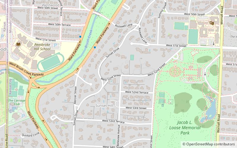
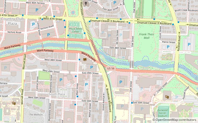
Ward Parkway is a boulevard in Kansas City, Missouri, United States, near the Kansas-Missouri state line. Ward Parkway begins at Brookside Boulevard on the eastern edge of the Country Club Plaza and continues westward along Brush Creek as U.S. Route 56 until it turns southward across the creek just before the Kansas-Missouri state line. It then continues south for four miles, terminating at Wornall Road near West 95th Street. ()
Elevation: 837 ft a.s.l.Coordinates: 39°2'21"N, 94°35'7"W
Address
Midtown (Country Club Plaza)Kansas City
ContactAdd
Social media
Add
Day trips
Ward Parkway – popular in the area (distance from the attraction)
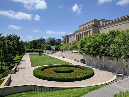
Nearby attractions include: Nelson-Atkins Museum of Art, Westport, Ewing and Muriel Kauffman Memorial Garden, Kemper Museum of Contemporary Art.
Frequently Asked Questions (FAQ)
Which popular attractions are close to Ward Parkway?
Nearby attractions include Community Christian Church, Kansas City (8 min walk), Ewing and Muriel Kauffman Memorial Garden, Kansas City (9 min walk), Volker, Kansas City (11 min walk), Country Club Plaza, Kansas City (12 min walk).
How to get to Ward Parkway by public transport?
The nearest stations to Ward Parkway:
Bus
Bus
- Plaza Library • Lines: Mmax (3 min walk)
- Main at 47th • Lines: 35 (4 min walk)

