Walnut Canyon National Monument, Flagstaff

Gallery (1)
Map
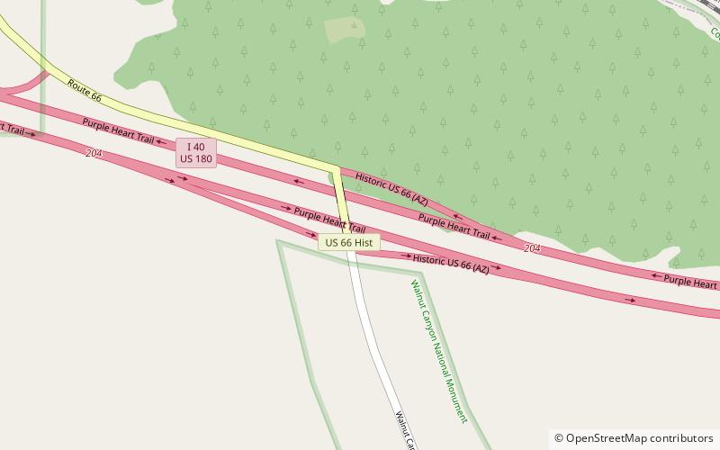
Map
Facts and practical information
Walnut Canyon National Monument (address: 3 E Walnut Canyon Rd) is a place located in Flagstaff (Arizona state) and belongs to the category of bridge.
It is situated at an altitude of 6660 feet, and its geographical coordinates are 35°12'30"N latitude and 111°31'1"W longitude.
Among other places and attractions worth visiting in the area are: Picture Canyon Natural and Cultural Preserve (park, 64 min walk), Peaceful Valley Memorial Park (cemetery, 73 min walk), Flagstaff Mall (shopping, 96 min walk).
Coordinates: 35°12'30"N, 111°31'1"W
Day trips


