Amherst State Park, Amherst

Map
Facts and practical information
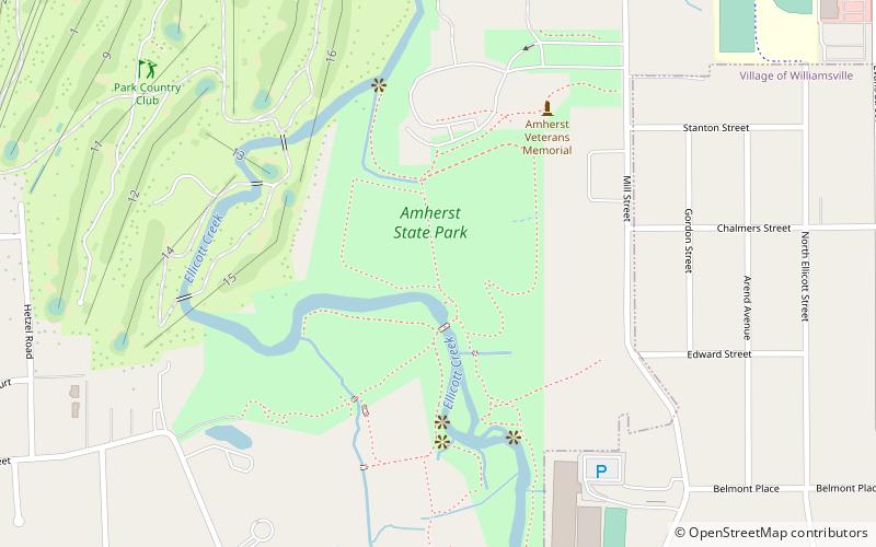
Amherst State Park is an 80-acre park in Erie County, New York, United States. The park is located northeast of Buffalo, partially in the Village of Williamsville with the balance located in the Town of Amherst. The park is managed by the Town of Amherst under an agreement with the New York State Office of Parks, Recreation and Historic Preservation. ()
Day trips
Amherst State Park – popular in the area (distance from the attraction)
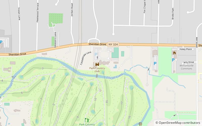
Nearby attractions include: Glen Falls, The Park Country Club, Glen Park, Williamsville Christian Church.
Frequently Asked Questions (FAQ)
Which popular attractions are close to Amherst State Park?
Nearby attractions include Glen Park, Williamsville (13 min walk), Glen Falls, Williamsville (14 min walk), Williamsville Christian Church, Williamsville (16 min walk), Former Reformed Mennonite Church, Amherst (24 min walk).
How to get to Amherst State Park by public transport?
The nearest stations to Amherst State Park:
Bus
Bus
- WCSD Transportation Department (15 min walk)


