Newport Beach Civic Center, Newport Beach

Map
Facts and practical information
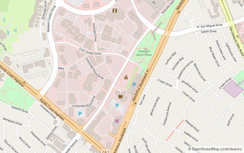
The Newport Beach Civic Center and Park is a civic center and community park located in Newport Beach, California. It is situated on a 16-acre lot that is bordered by Avocado Avenue and MacArthur Boulevard. ()
Elevation: 167 ft a.s.l.Coordinates: 33°36'32"N, 117°52'23"W
Address
100 Civic Center DriveNewport BeachNewport Beach
ContactAdd
Social media
Add
Day trips
Newport Beach Civic Center – popular in the area (distance from the attraction)
Nearby attractions include: Fashion Island, Pacific View Memorial Park, Sherman Library and Gardens, Orange County Museum of Art.
Frequently Asked Questions (FAQ)
Which popular attractions are close to Newport Beach Civic Center?
Nearby attractions include Sherman Library and Gardens, Newport Beach (13 min walk), Toshiba Classic, Newport Beach (16 min walk), China House of China Cove, Newport Beach (22 min walk).
How to get to Newport Beach Civic Center by public transport?
The nearest stations to Newport Beach Civic Center:
Bus
Bus
- Newport Transportation Center (13 min walk)


