Sullivan Field, San Antonio
Map
Facts and practical information
Sullivan Field is a baseball park located in San Antonio, Texas, United States. It is the home of the University of the Incarnate Word Cardinals baseball team of the NCAA Division I Southland Conference. It opened on April 8, 1989 with a 5–2 win over their cross-town rival, the St. Mary's Rattlers. Lights were added before the 2004 season so that night baseball would be possible. ()
Opened: 1989 (37 years ago)Capacity: 1000Coordinates: 29°28'8"N, 98°28'15"W
Address
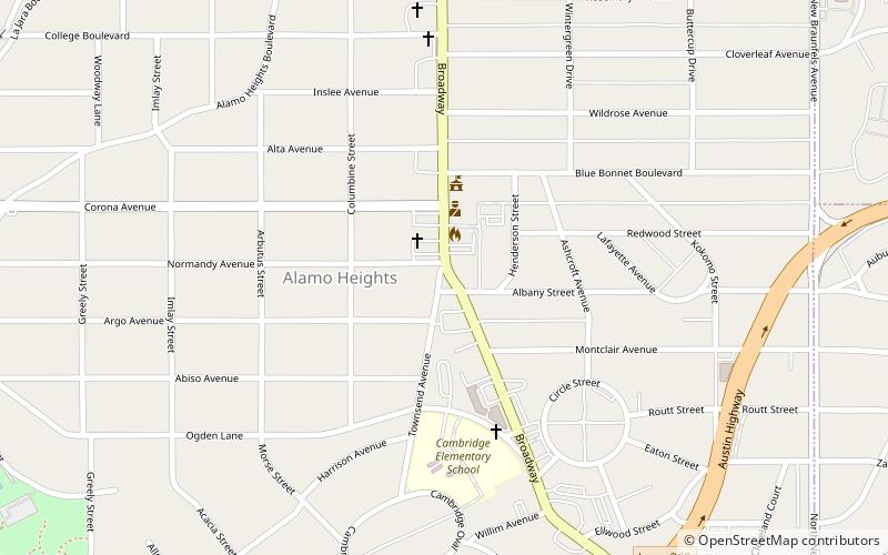
Central City (Midtown)San Antonio
ContactAdd
Social media
Add
Getting there by public transportation
Public transportation stops near this location
- Train
 Train
Train
- Calculate routeSan Antonio Zoo Eagle Train Station 15 min walk
Day trips


Frequently Asked Questions (FAQ)
Which popular attractions are close to Sullivan Field?
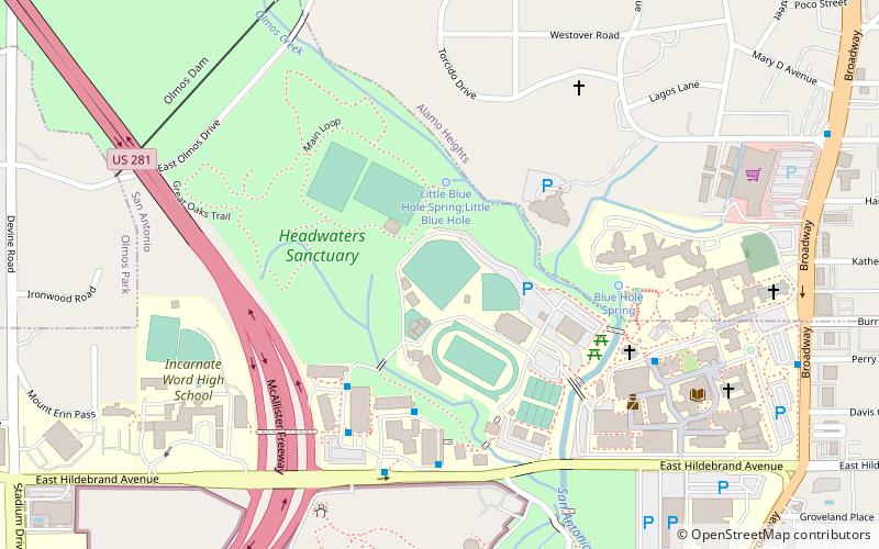
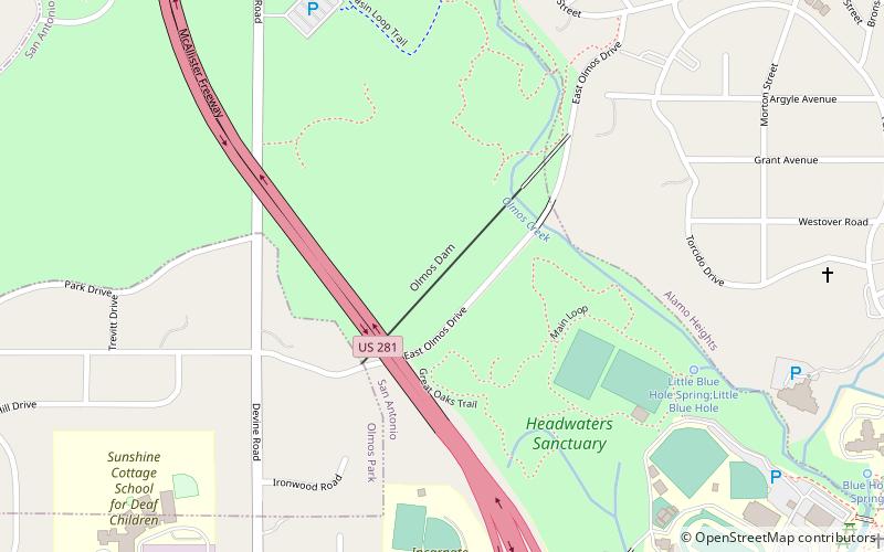
Nearby attractions include San Antonio Springs, San Antonio (6 min walk), Olmos Dam, San Antonio (10 min walk), San Antonio Zoo, San Antonio (10 min walk), Broadway Tower, San Antonio (14 min walk).
How to get to Sullivan Field by public transport?
The nearest stations to Sullivan Field:
Train
Train
- San Antonio Zoo Eagle Train Station (15 min walk)