Lockport Powerhouse, Joliet
Map

Map

Facts and practical information
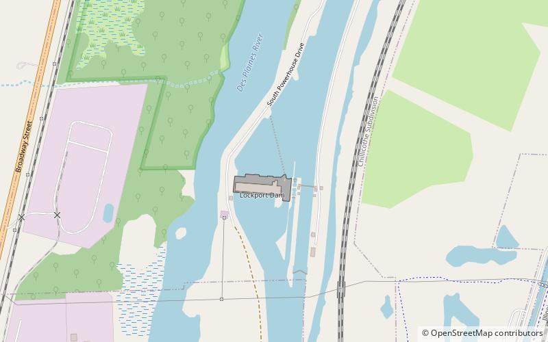
The Lockport Powerhouse is a run-of-the-river dam used by the Metropolitan Water Reclamation District of Greater Chicago to control the outflow of the Sanitary and Ship Canal and limit the diversion of water from Lake Michigan into the Des Plaines River. ()
Built: 1910 (116 years ago)Coordinates: 41°34'12"N, 88°4'42"W
Address
Joliet
ContactAdd
Social media
Add
Day trips
Lockport Powerhouse – popular in the area (distance from the attraction)
Nearby attractions include: Louis Joliet Mall, Silver Cross Field, Harrah's Joliet, Rialto Square Theatre.
Frequently Asked Questions (FAQ)
How to get to Lockport Powerhouse by public transport?
The nearest stations to Lockport Powerhouse:
Bus
Train
Bus
- Green Garden & Godfrey • Lines: 509 (21 min walk)
- Stateville Correctional Facility • Lines: 832 (22 min walk)
Train
- Lockport (36 min walk)


