Poplar Bluff Commercial Historic District, Poplar Bluff
Map
Facts and practical information
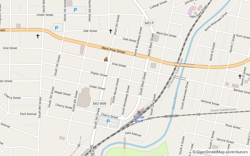
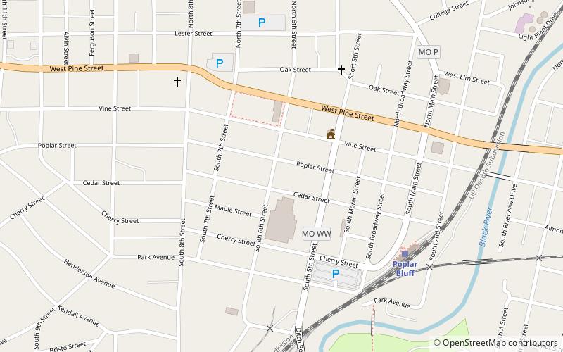
Poplar Bluff Commercial Historic District is a national historic district located at Poplar Bluff, Butler County, Missouri. It encompasses 14 contributing commercial buildings in the central business district of Poplar Bluff. The district developed between about 1880 and 1930s, and includes representative examples of Italianate and Colonial Revival style architecture. Notable buildings include the Fraternal Building and Begley Building. ()
Coordinates: 36°45'21"N, 90°23'40"W
Address
Poplar Bluff
ContactAdd
Social media
Add
Getting there by public transportation
Public transportation stops near this location
- Train
 Train
Train
- Calculate routePoplar Bluff 4 min walk
Day trips
Poplar Bluff Commercial Historic District – popular in the area (distance from the attraction)
Nearby attractions include: Rodgers Theatre Building, Poplar Bluff Public Library, Moore-Dalton House, John Archibald Phillips House.


Frequently Asked Questions (FAQ)
Which popular attractions are close to Poplar Bluff Commercial Historic District?
Nearby attractions include Rodgers Theatre Building, Poplar Bluff (3 min walk), South Sixth Street Historic District, Poplar Bluff (4 min walk), Poplar Bluff Public Library, Poplar Bluff (6 min walk), John Archibald Phillips House, Poplar Bluff (6 min walk).
How to get to Poplar Bluff Commercial Historic District by public transport?
The nearest stations to Poplar Bluff Commercial Historic District:
Train
Train
- Poplar Bluff (4 min walk)