Dunbar-Carver Historic District, Brownsville

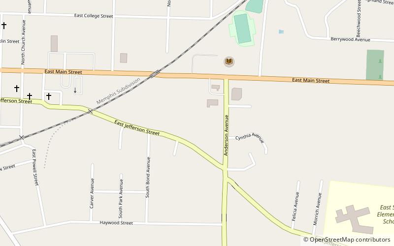
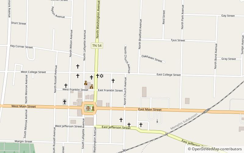
Map
Facts and practical information
The Dunbar-Carver Historic District in Brownsville, Tennessee is a 32.7 acres historic district which was listed on the National Register of Historic Places in 2015. ()
Coordinates: 35°35'31"N, 89°15'9"W
Address
Brownsville
ContactAdd
Social media
Add
Day trips
Dunbar-Carver Historic District – popular in the area (distance from the attraction)
Nearby attractions include: Temple Adas Israel, Zion Church, Joshua K. Hutchison House, College Hill Historic District.
Frequently Asked Questions (FAQ)
Which popular attractions are close to Dunbar-Carver Historic District?
Nearby attractions include Joshua K. Hutchison House, Brownsville (11 min walk), College Hill Historic District, Brownsville (13 min walk), Temple Adas Israel, Brownsville (15 min walk), Zion Church, Brownsville (16 min walk).


