Ashland Bridge, Ashland
Map
![Ashland Bridge location map](https://tzmedia.b-cdn.net/media/images/static-maps/us/41_0391_-96_3645.jpg)
Map
![Ashland Bridge location map](https://tzmedia.b-cdn.net/media/images/static-maps/us/41_0391_-96_3645.jpg)
Facts and practical information
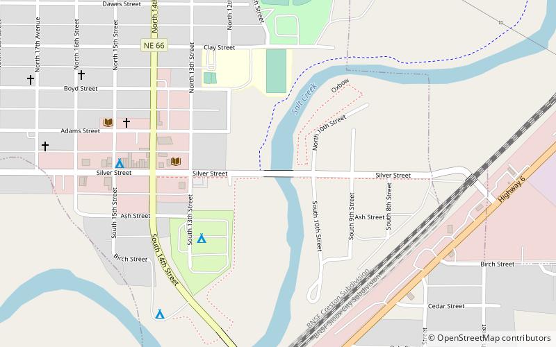
The Ashland Bridge in Ashland, Nebraska, also known as Silver Street Bridge, is a pony truss bridge that was built in 1936. It was listed on the National Register of Historic Places in 1992. ()
Built: 1936 (88 years ago)Coordinates: 41°2'21"N, 96°21'52"W
Address
Ashland
ContactAdd
Social media
Add
Day trips
Ashland Bridge – popular in the area (distance from the attraction)
Nearby attractions include: Strategic Air Command & Aerospace Museum, Lee G. Simmons Conservation Park and Wildlife Safari, Linoma Beach, Public Library.