West Side, Chicago
Map
Gallery
Facts and practical information
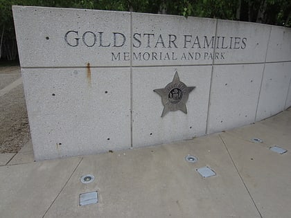
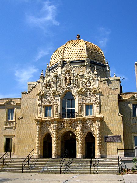
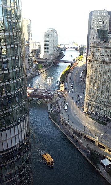
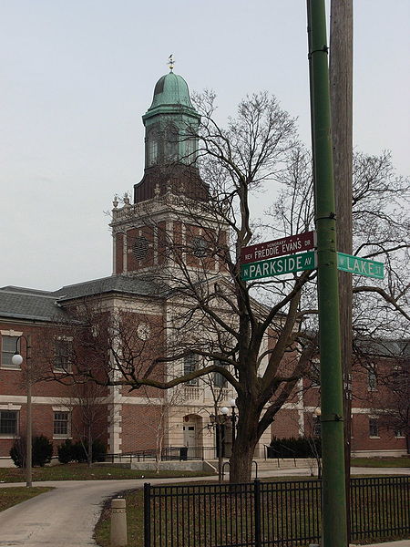
The West Side is one of the three major sections of the city of Chicago in Cook County, Illinois, along with the North Side and the South Side. The West Side consists of communities that are of historical, cultural, and ideological importance to the history and development of Chicago. On the flag of Chicago, the West Side is represented by the central white stripe. ()
Coordinates: 41°52'2"N, 87°37'18"W
Day trips
West Side – popular in the area (distance from the attraction)
Nearby attractions include: Field Museum, Grant Park, Buddy Guy's Legends, Shedd Aquarium.
Frequently Asked Questions (FAQ)
Which popular attractions are close to West Side?
Nearby attractions include One Museum Park, Chicago (1 min walk), South Side, Chicago (1 min walk), The Grant, Chicago (3 min walk), Statue of Christopher Columbus, Chicago (3 min walk).
How to get to West Side by public transport?
The nearest stations to West Side:
Bus
Train
Metro
Bus
- Roosevelt & Michigan/Indiana • Lines: 12, 130, 146 (3 min walk)
- Indiana & 13th Street • Lines: 12 (4 min walk)
Train
- Museum Campus/11th Street (4 min walk)
- Van Buren Street (18 min walk)
Metro
- Roosevelt • Lines: Green, Orange, Red (8 min walk)
- Harrison • Lines: Red (16 min walk)



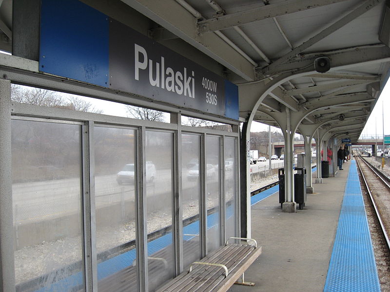
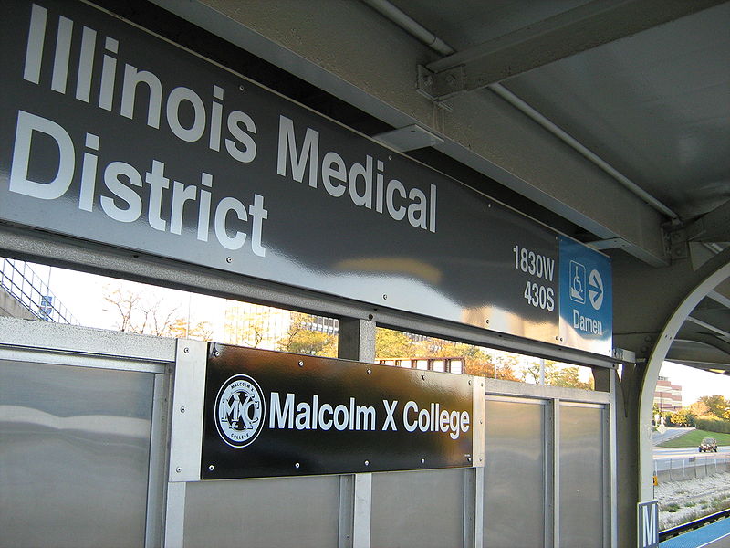

 Rail "L"

